Day 1 [Georgia: Mile 0 - Mile 4.3] Springer Mt. - 3 Forks
Date: October 13, 2024 (Sunday)
Three Forks <-> Long Creek Falls
Distance: 2 miles round trip
Three Forks -> Springer Mt Parking Lot
Distance: 3.3 miles one way
Springer Mt Parking Lot <-> Springer Mt peak (AT Beginning)
Distance: 2 miles round trip
Total Distance: 7.3 miles
We finally found our courage to start hiking AT. Although the idea has been haunting me for years, I hesitated as I know we will never be able to block away several months to thru hike. However, after learning the concept of day hiking and section hiking from a friend who has been doing it, the thought seems not that distant anymore.
I haven’t spent too much time doing research on AT and camping, except finished a few books about hiking AT years ago. We figure how hard would a day hike be. However, when I was searching for specific location of AT South Start the night before, I was very confused. Is it the Visitor Center of Amicalola Falls State Park, or is it Springer Mountain Trailhead, or is it a place called “Appalachian Trail Souther Terminus” on Google Map a little south of Springer Mt Trailhead? As we have been to Amicaloca Falls a few times already, I decided to drive to the Springer Mt Trailhead parking lot for luck. We can always make up the Amicalola section later if that’s part of the AT. That decision turned out to be correct.
The official start of AT is the peak of Springer Mt, which is about 1 mile south of the Springer Mt trailhead parking lot. The parking lot has about 20 spaces, and is at the cross FSR-42 and the AT. From the main roads either on Ellijay side on the west, or from GA State Route 400/US-19 on the east, you need to drive on section of unpaid service road to get there. The west section of the service road though has better condition and shorter distance. The down side of Ellijay is possible traffic due to the crowd visiting several major farms there in the apple picking/pumpkin/maze/hay ride season.
From the map in the Springer Mt Trailhead, it shows the section from Springer Mt peak to Amicalola Falls is AT Side Trails. Many people start their AT through hike from Amicalola Falls because its well-established visitor center for long-term parking and amenities, and the Arch right behind the visitor center which symbolizes the beginning of the AT. According to the shuttler driver Dale “Bandit” Johnson, who I am going to talk about later, the AT entrance used to be that Arch of Amicalola Falls. Before Amicalola Falls, the original AT start was further down south. From another shuttle driver Ron, the Amicalola Falls turn from public hands to a private company some years ago. That’s maybe why the official start is not there.
If you would like to day hike like us, or need shuttle services who are familiar with AT and the area, there are several very nice person who have been doing it for years full-time. Dale being one of them. The night before of my day1 hike, I found Dale’s shuttle service phone number on a Reddit post. Originally we were planning to hike back and forth to pick up the car. I called his number in the morning and left a voice mail just when we left the house, but not expecting too much as it was a last minute request. Surprisingly, Dale was dropping off a group in the Springer Mt. parking lot when we just got there. He couldn’t return my msg as none of us had cellular network in that area, but he identified me after he listened to my message earlier. We were really lucky that day! Dale drove us to the 3 Forks parking lot, which is about 4.1 miles north. We do not want to be too aggressive on the first day in pushing up the miles thus that location sounds short and sweet.
Just in case anyone interested, Dale’s phone number is (828) 231-7728. He runs this shuttle service full-time, and his website is www.mountaintrailsshuttles.com Dale is so easy and fun to work with, very knowledge and kind, he through hiked 2 years ago, we really enjoyed his service. Highly recommend.
From 3 Forks, we hiked north about 1 mile to visit Long Creek Falls, then hiked back to 3 Forks. Then hiked to the Springer Mt parking lot. Took a break, then hiked round trip to and from the Springer Mt peak/AT trail start. Then we called it a day.
Dale mentioned a must have app called “Farout” that every AT hiker uses (https://faroutguides.com). The app shows along the trail all amenities including shelter, stream, creek, parking lot, views, and location of nearby towns. A hiker told me that you could download it when you have wifi so that you still can use the app in remote areas. It helps a lot in safety as you can tell whether you are on the trail or wondered away even without cellular network. You need to pay to use the Appalachian Trail map, either in a bundle of $74.99 covering the whole AT without an expiration date, or you can buy section by section. Springer Approach Trail section is free to use and test.
Mile 0 - Mile 1: Springer Mountain Peak - Trailhead Parking Lot
The trail from Springer Mt trailhead parking lot to the peak turn immediately rocky. The mountain top is a small flat surfaces of rocks. You will see the bronze rectangle sign of Georgia Appalachian Trail Club (GATC). The rectangle white sign in its top left corner on the rock is the trail indicator along the whole AT. Another bronze rectangle plate of AT map on a standing rock nearby.
Don’t forget to check the log book which is hidden in a steel box under the rock with the official terminus plaque. There is no real rule about who can sign it and who can’t. We didn’t as I didn’t know about it until later.
Mile 1 - Mile 4.1: Springer Mt Trailhead Parking Lot - Three Forks
It is an uphill from 3 Forks to Springer Mt. It began with a bridge, with the trail splitting between AT and Benton McKaye Trail again. First section was mostly walking in Rhododendron bushes along the creek. It must be nice in the spring with flowers. Then it is relatively flat woods.
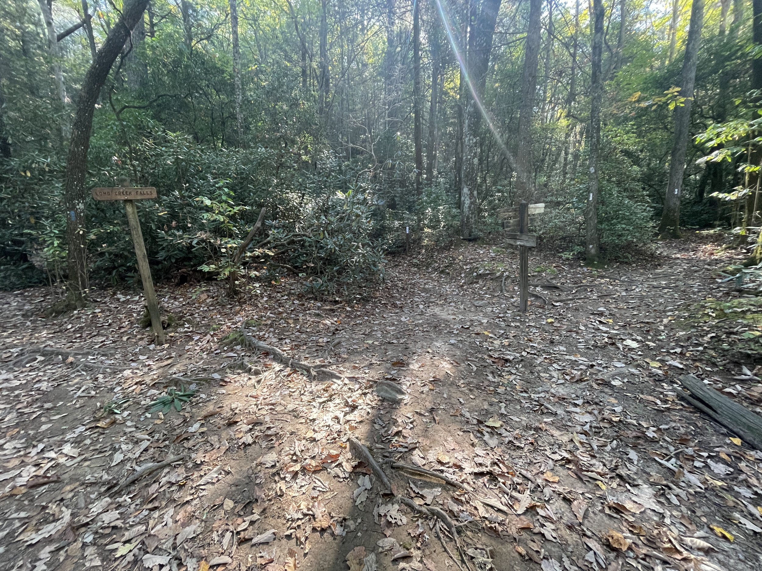
Long Creek Falls is a two-tier waterfall that is very easy to access. When you hike from 3 Forks parking lot, in about 0.8 miles you will see a 3-way fork, with AT is on the right, Benton MacKaye Trail in the middle, and the Long Creek Falls on the right. The falls are only 0.1-0.2 miles away. This section is busy with tourists for only the falls.


