Day 5 [Georgia: Mile 38.3 - Mile 53.3] Hogpen Gap -> Unicoi Gap
Date: March 6, 2025 (Thursday)
Total Distance: 15.0 miles
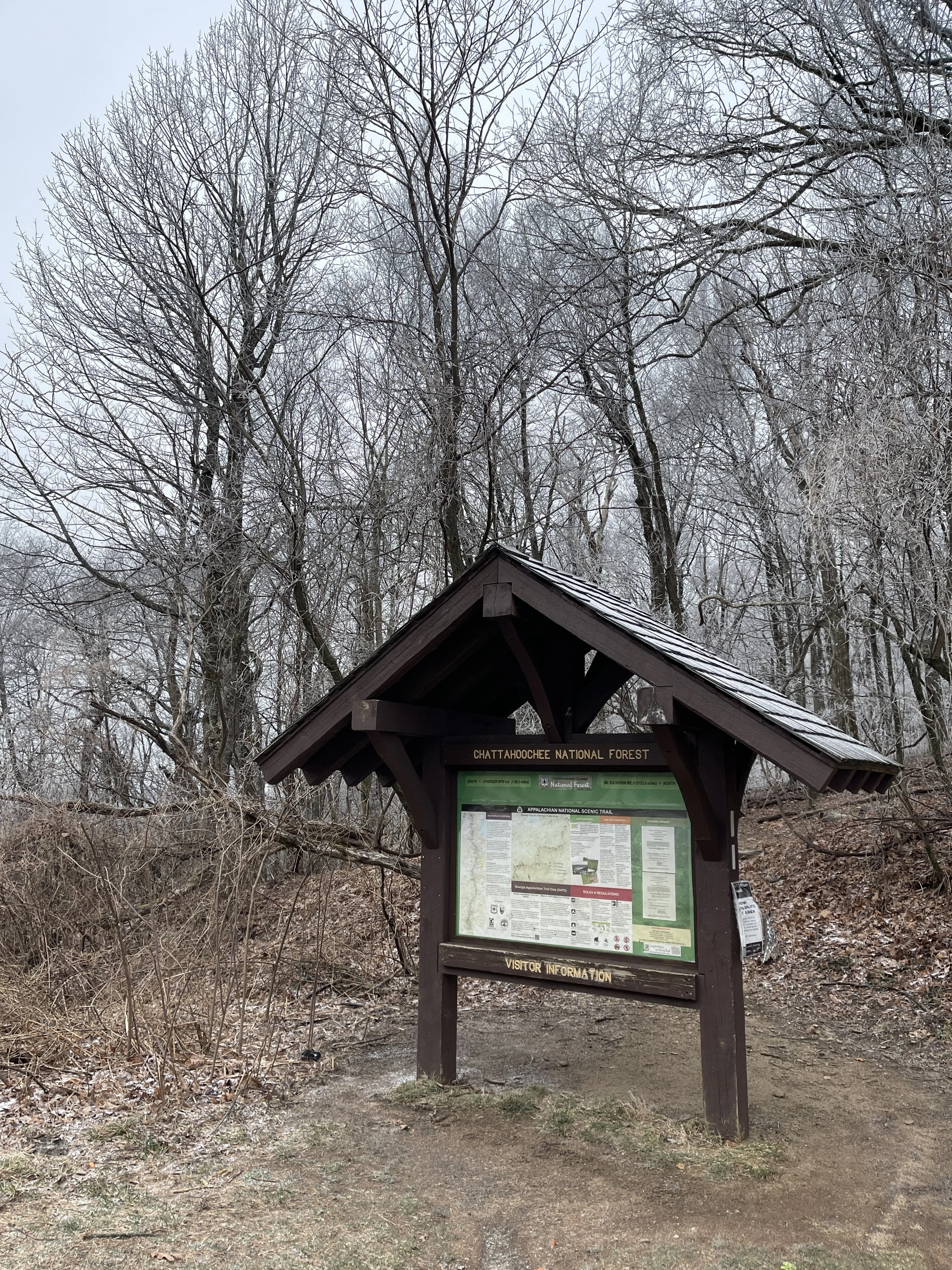
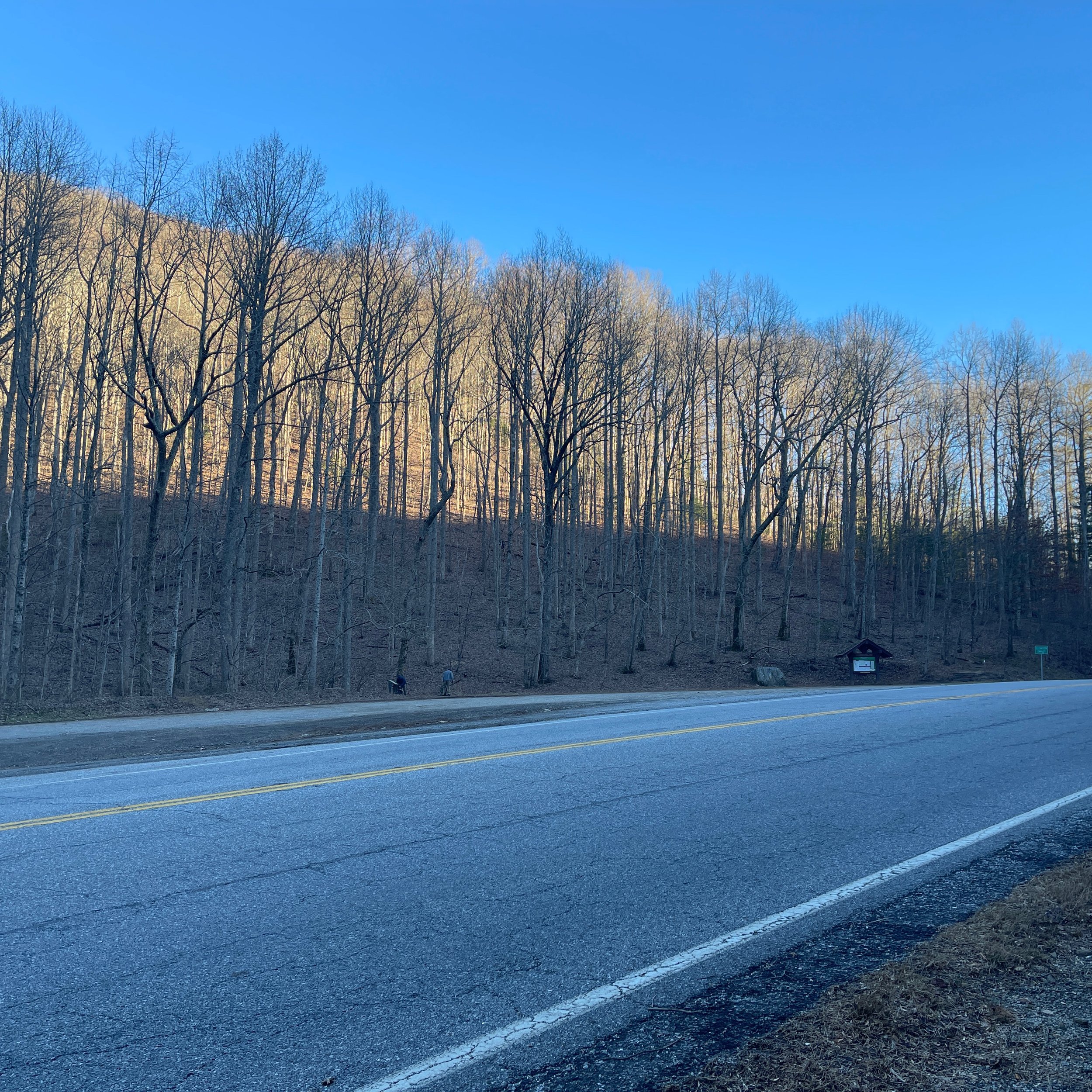
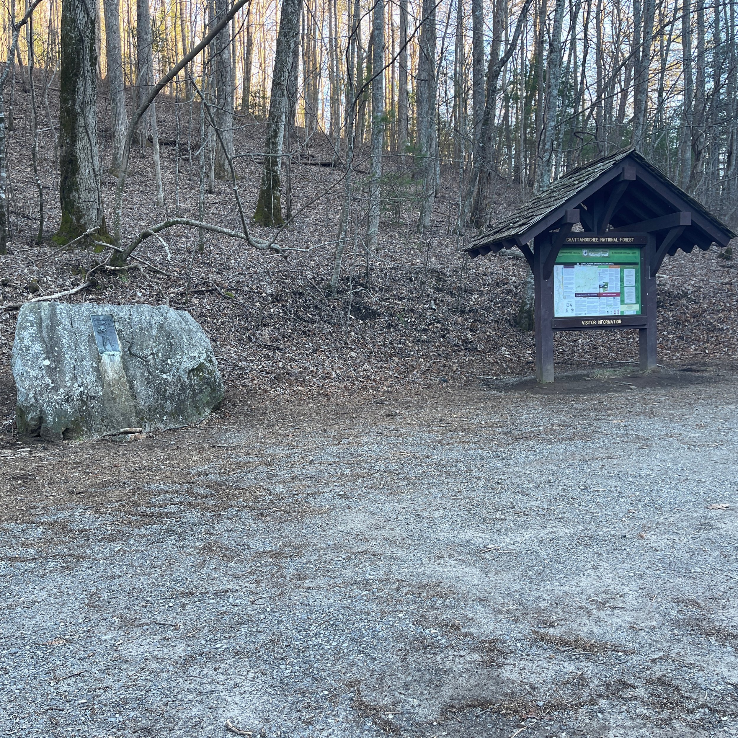
Finally we could pick up our AT section hiking again during the kids’ spring break this week. We drove a little over two hours in the morning from our house to the Blue Ridge Gap and park our car at the first turn where the dirt road starts. Our shuttle driver Ron advised us the night before not to drive to the top of the trail head due to the recent rains and cold weather. Ron also picked p two other section hikers from Chattanooga at Dicks Deep Gap, and dropped us at Hogpen Gap.
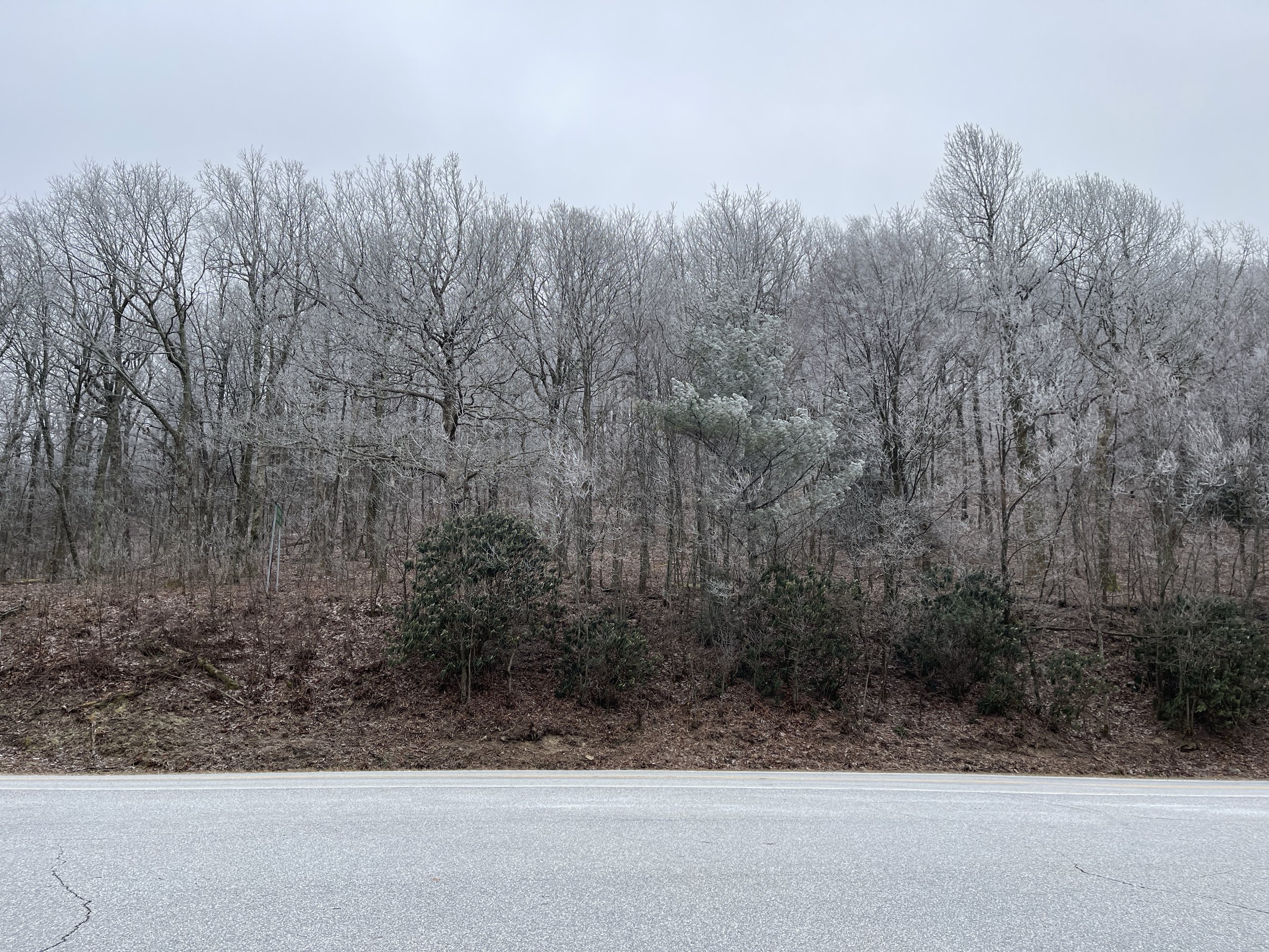
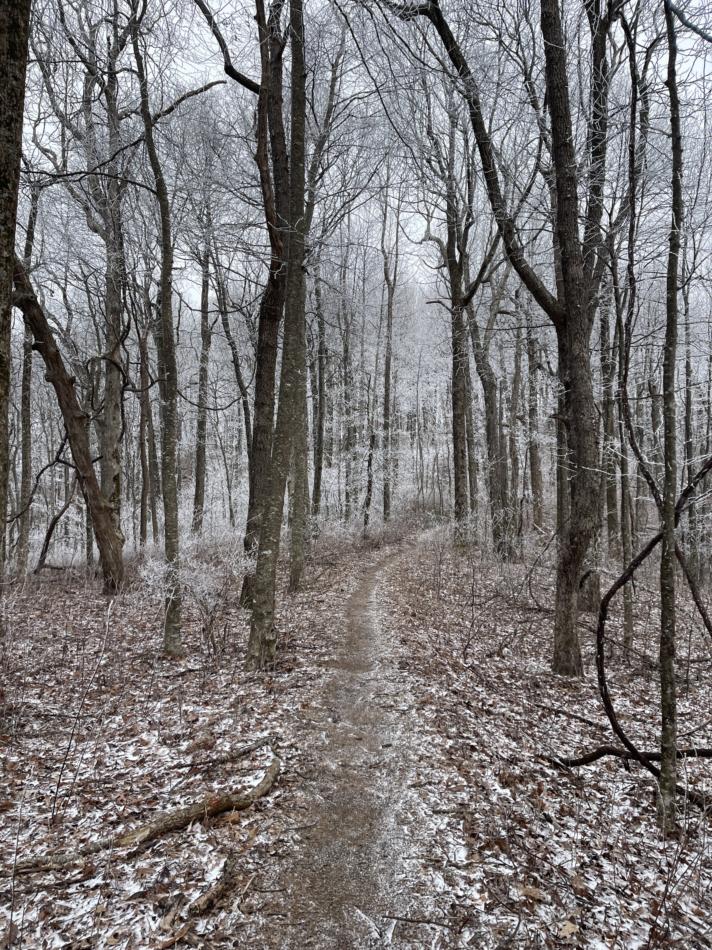
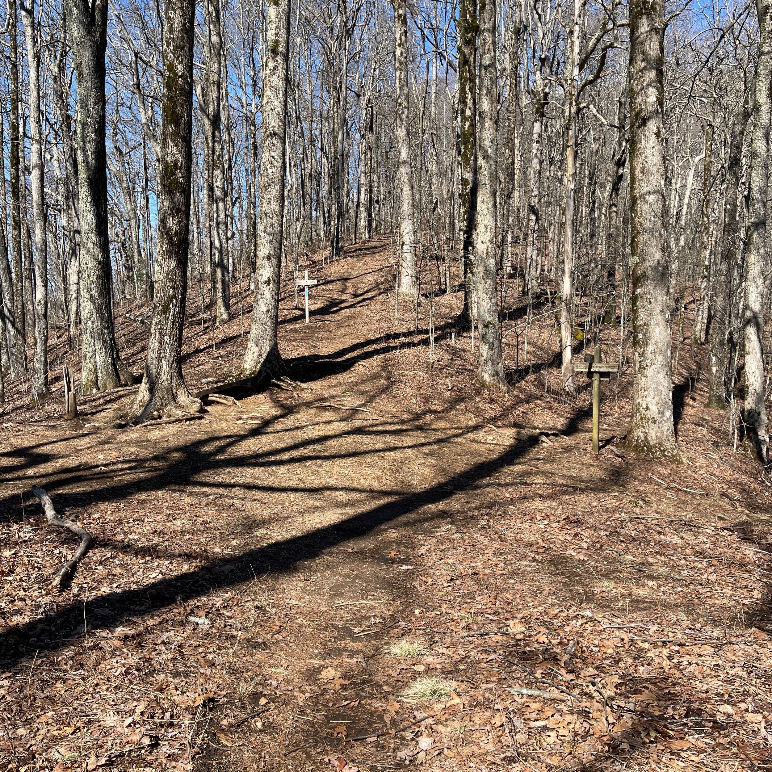
It was freezing cold at the trail head although it was already 9:30AM in the morning. Hogpen Gap was notorious for its harsh weather and temperature. We were not prepare as we never thought it would be colder than the February when we were in this area last time. While we were re-organizing our backpack and putting on all layers of clothes we brought, a hiker walked by and told us it snowed the night before. Many mountain tops were snow-capped. We began our 3-day journey in shivering.
Mile 38.2 Hogpen Gap/GA-348
Mile 40.3 Poor Mountain
Mile 42.2 Sheep Rock Top
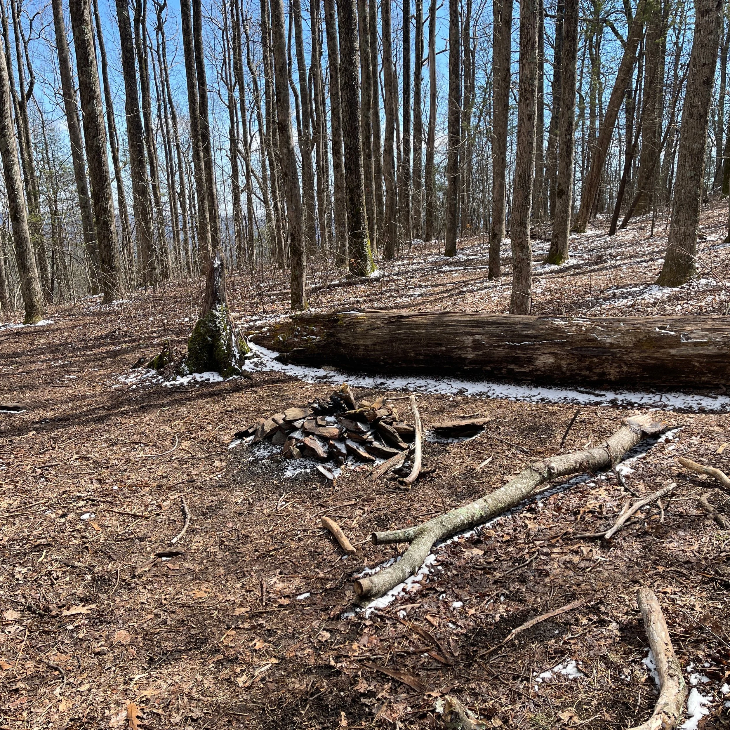
The mountain top has a flat area with a fire pit. Seems to be a nice campsite.
Mile 42.4 View
Once we came off the Sheep Rock Top, on our way declining to the Low Gap Shelter, there was a big rock on the left hand side of the road and you can see the mountain ranges through the gap of the tree tops. It is marked on Far Out app as a “View”.
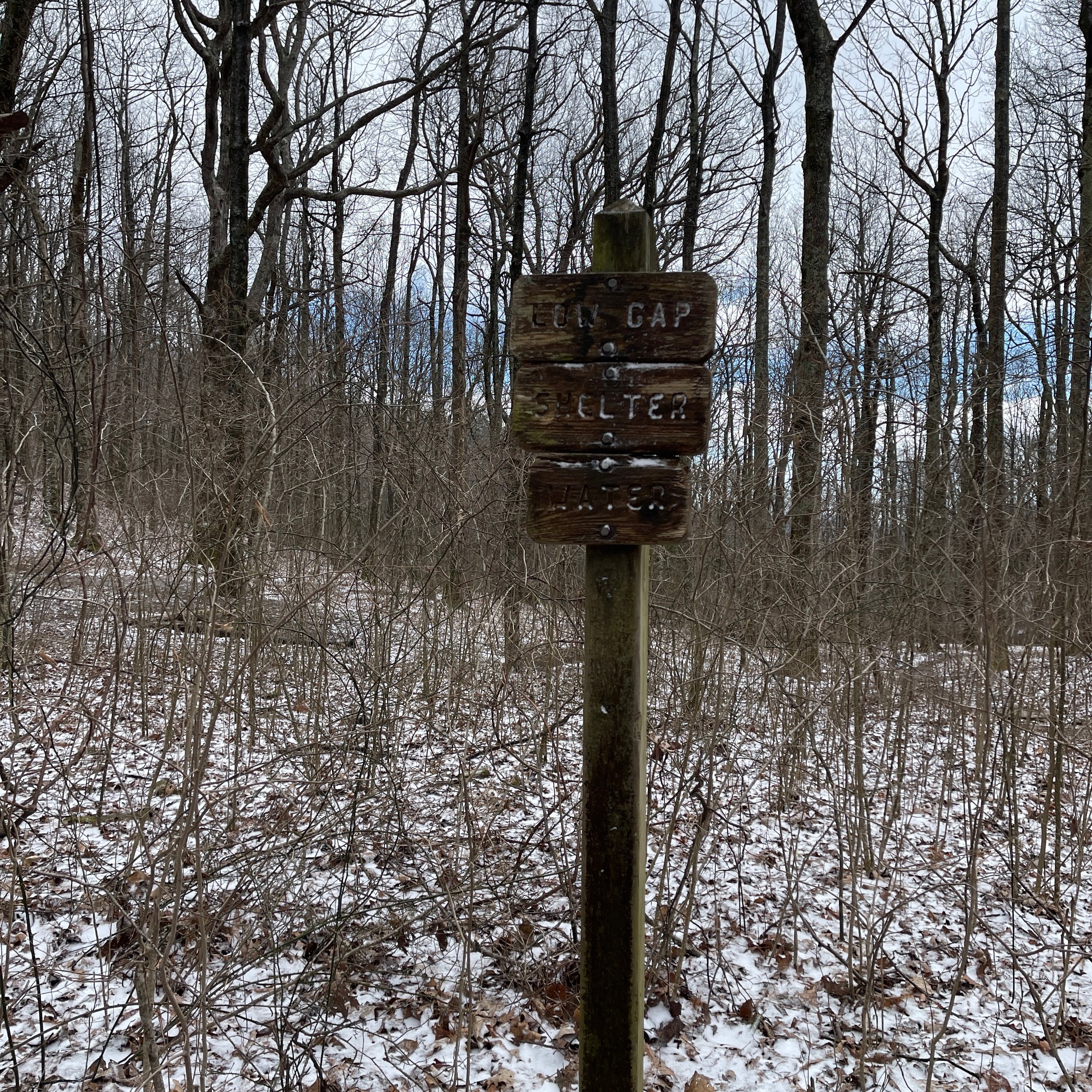
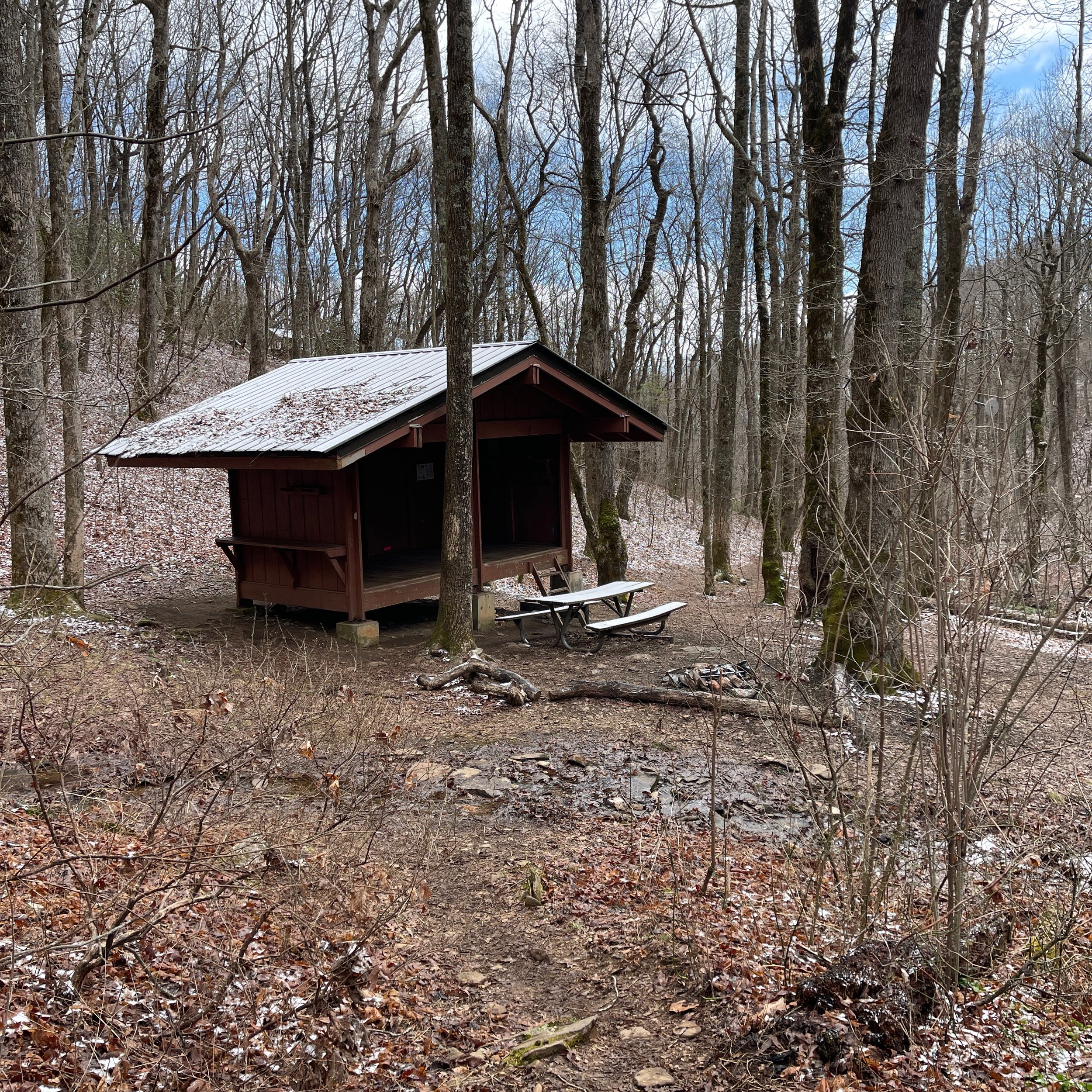
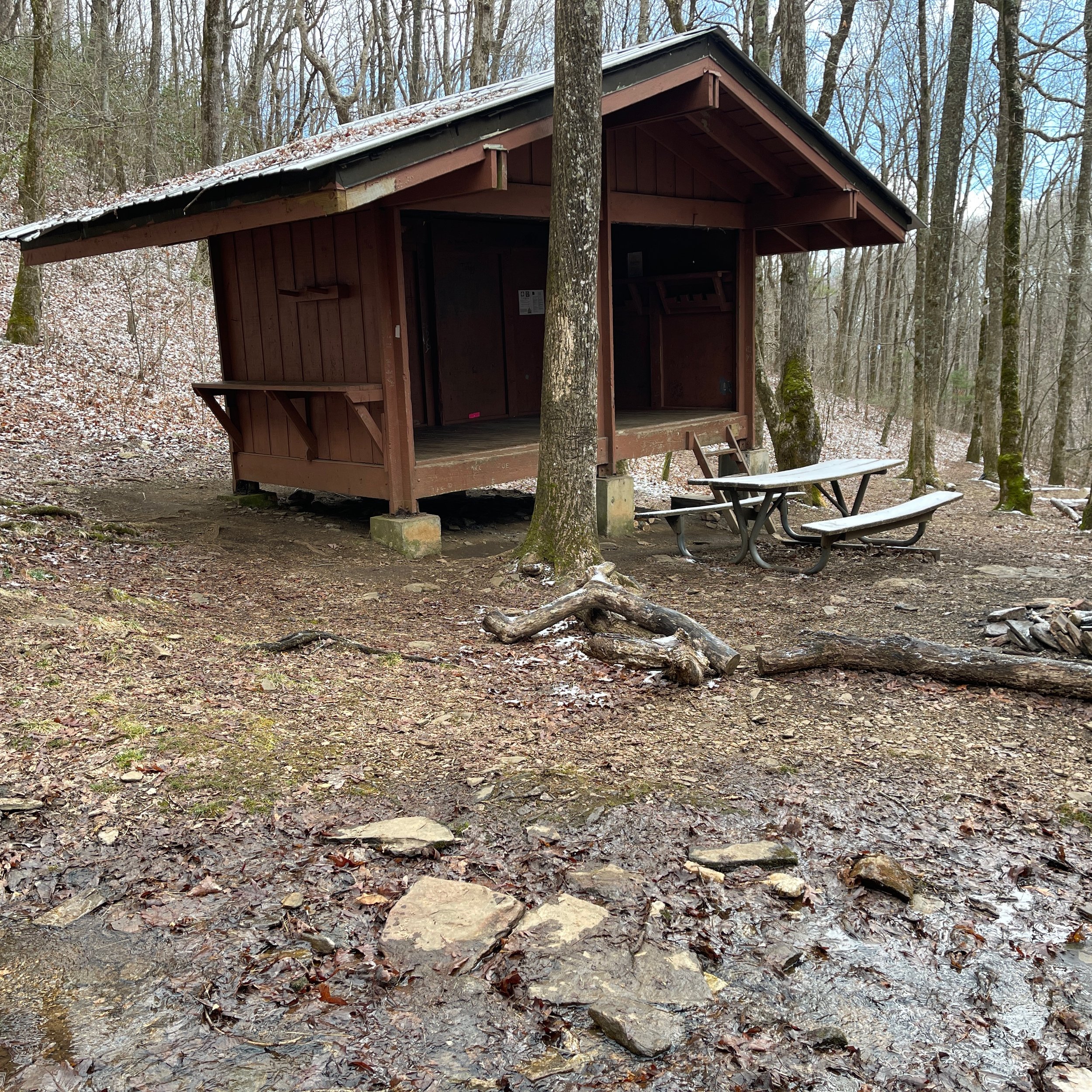
Mile 43.0 Low Gap Shelter
The shelter is visible from the trail when we approached it. It is just 0.1 mile walk from the trail. Multiple tent sites on the way to the shelter. A creek flow by the shelter on the side. There is another deeper creek in the valley in front of the shelter as well. Bear cables. We cooked and ate our lunch and got back to the trail. The sun came out and it turned to be a lot warmer.
Mile 44.4 Poplar Stamp Gap
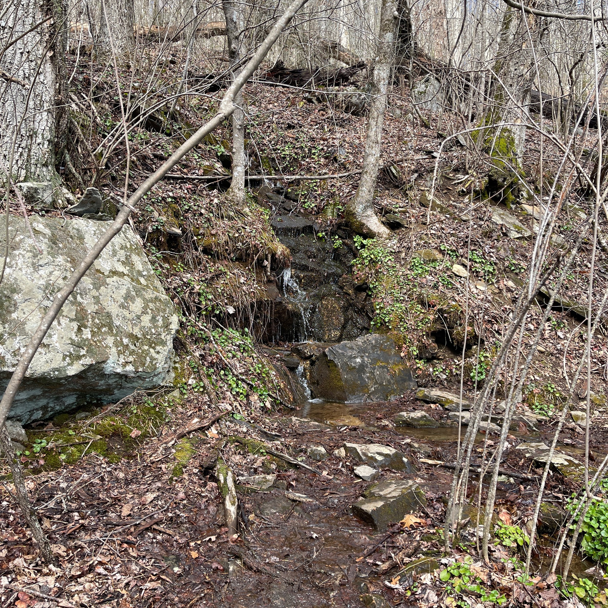
Walked by several streams. The gap has a fire pit and flat area for a few tent sites. Far out app says water source 0.1 mile east from the gap.
Mile 46.8 Cold Spring Gap
Relatively flat with more creeks, wooded areas, and a campsite.
Mile 48.0 Chattahoochee Gap
It sits between two hills with Jacks Gap Trail crossing. The trail has been South-North bound from Hogpen Gap, and it turns East-West from here until Tray Mountain Wildness.
Mile 49.4 Spaniards Knob Campsite
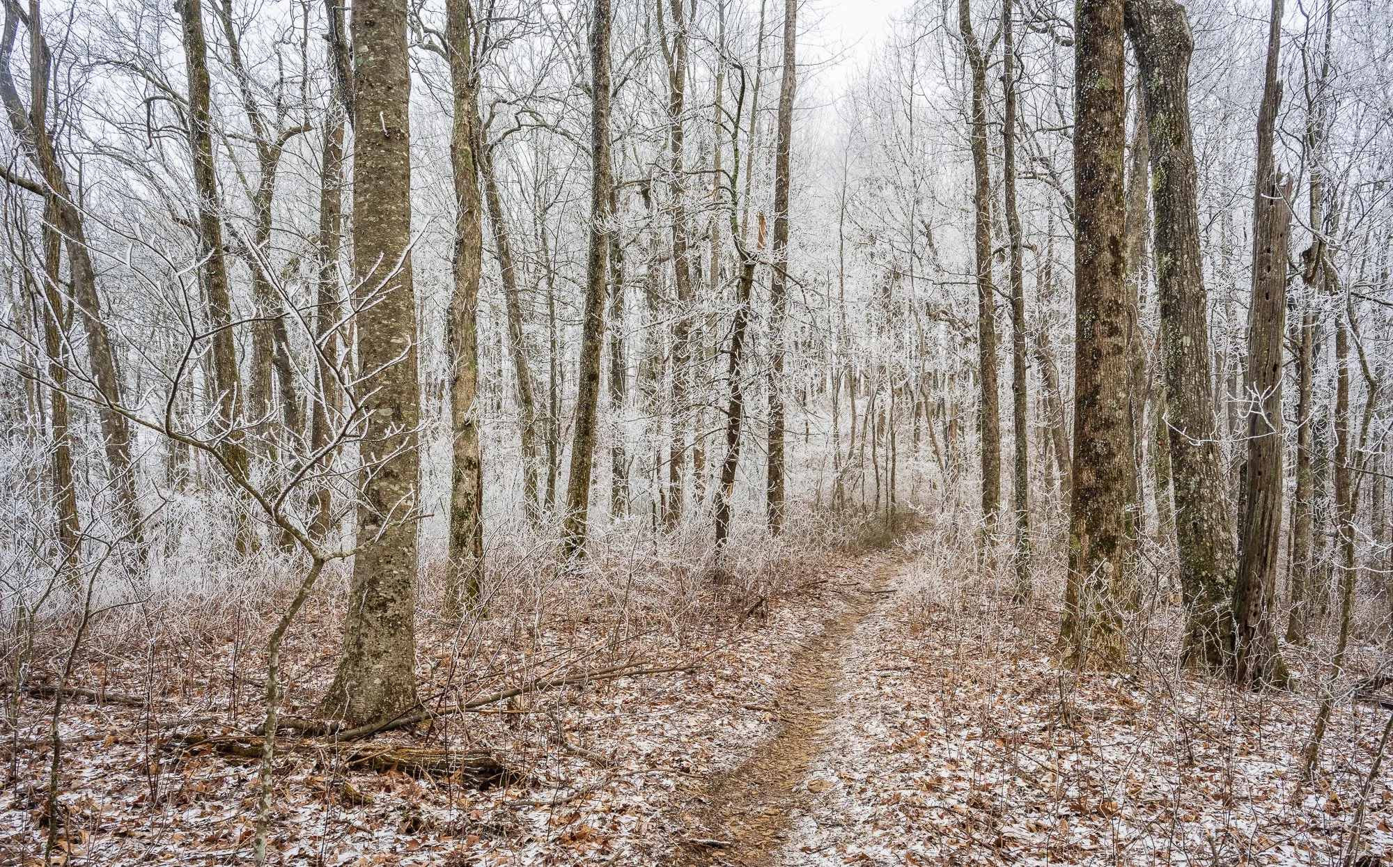
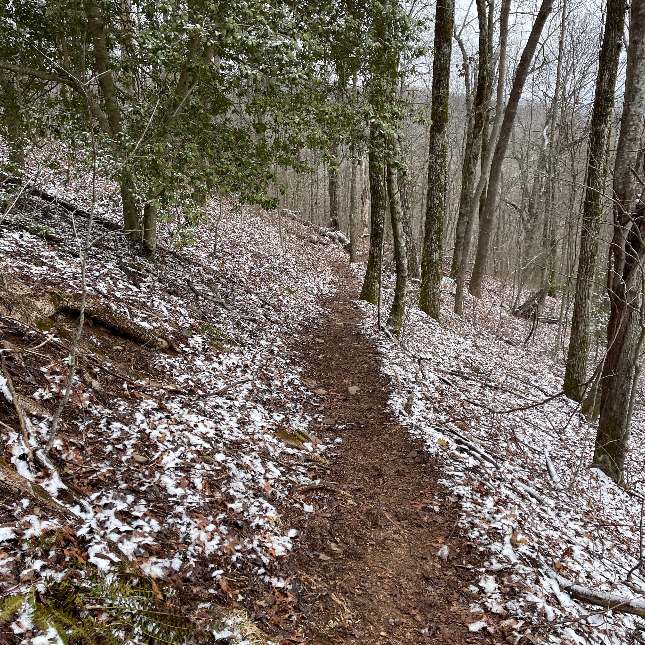
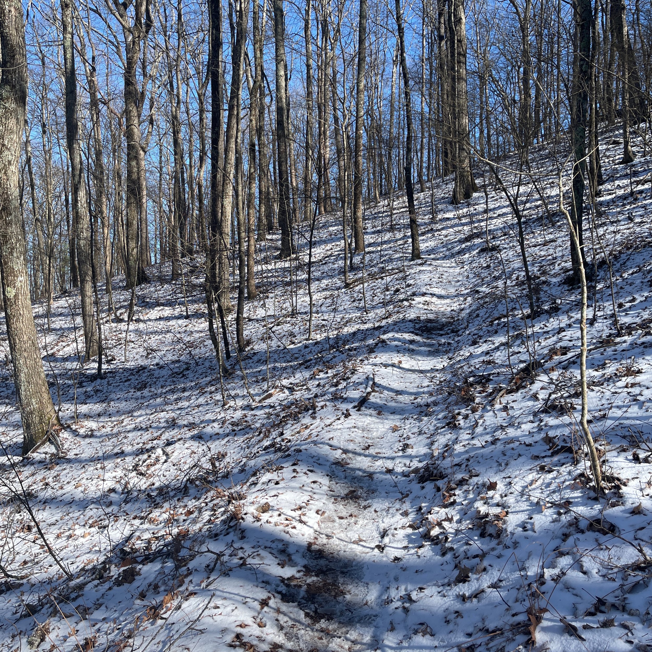
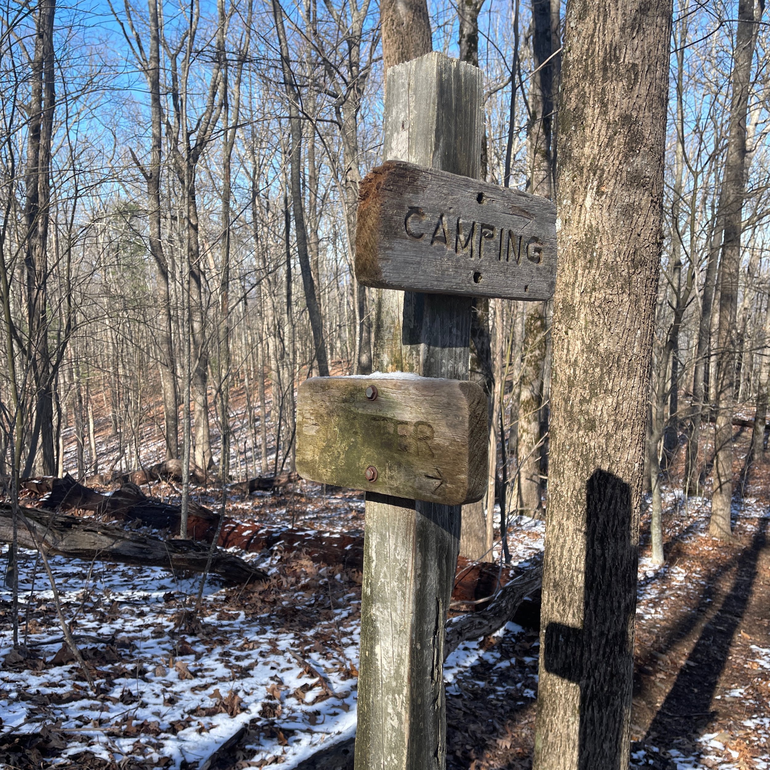
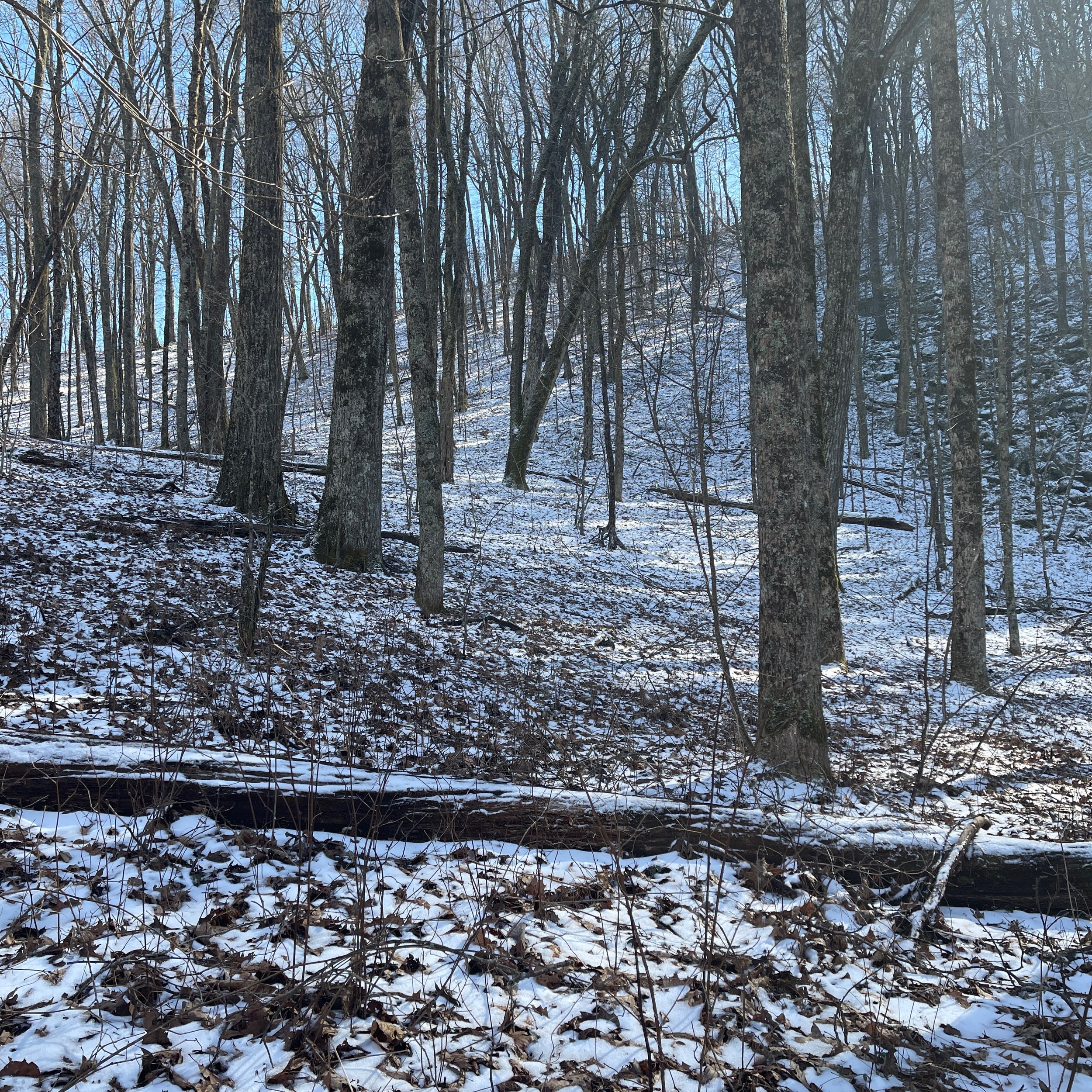
We started to see more snow on the trail probably due to the elevated altitude. We passed the sign to the campsite, which is a large, official campsite for 7-8 tents. White-topped mountain ranges on the far looked very beautiful. You never know what you will get on the trail. I think the snow was all gone the second day when the weather warmed up in the area. We were lucky to be there seeing it.
Mile 49.6 Spring
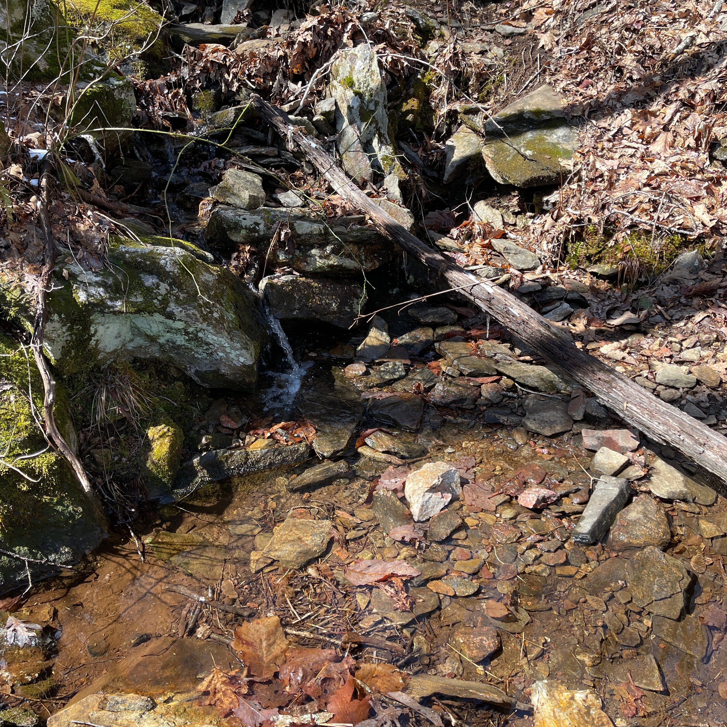
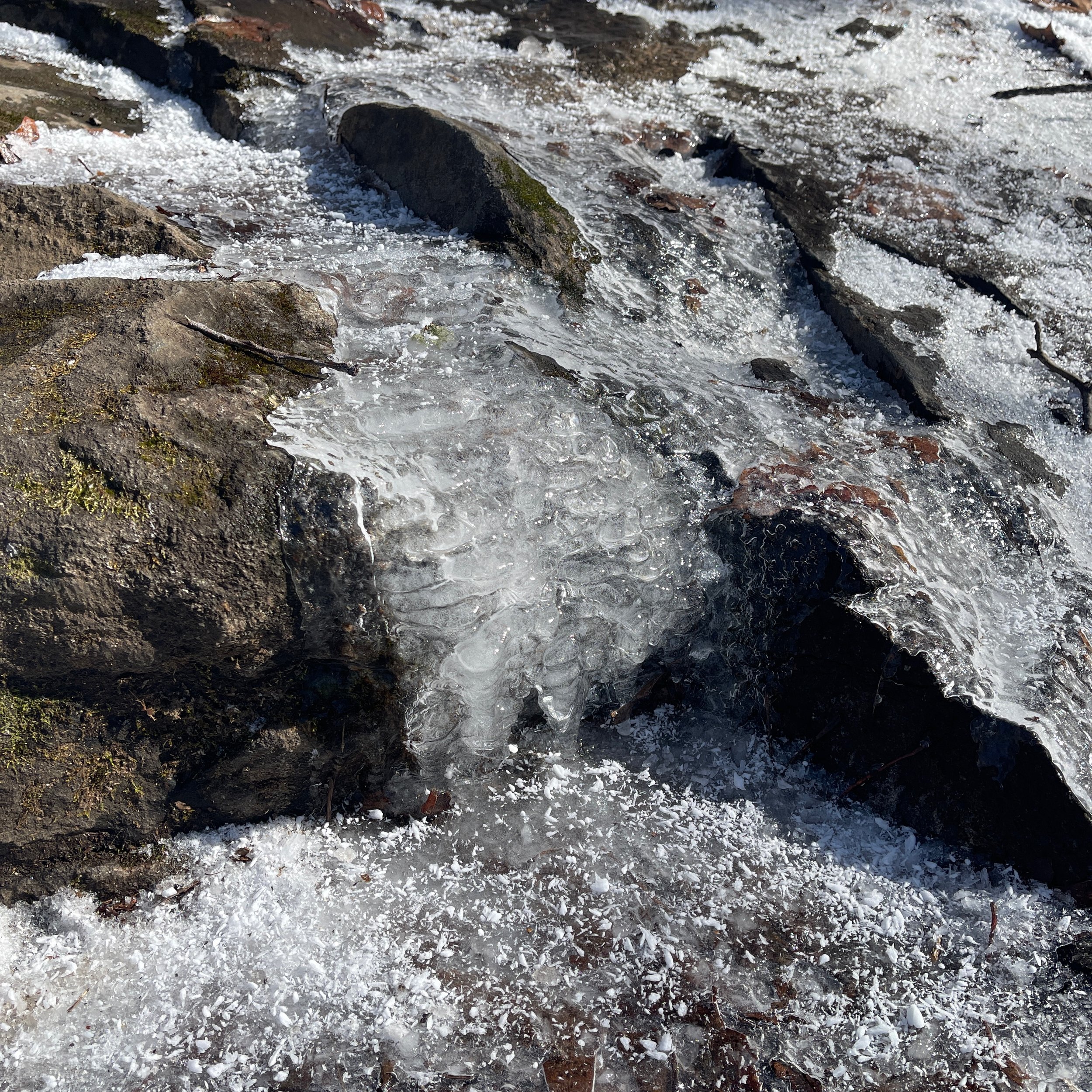
On the climb to the Blue Mountain Shelter. Passed many hikers in this rocky section, including some day hikers. The spring water turned ice on the road. There were icicles dripping on the tip of every tree branches, and shining under the sunlight. Very pretty.
Mile 50.3 Blue Mountain Shelter
Finally we arrived at the Blue Mountain Shelter, which was built on top of the mountain, and visible from the trail. It was just a little over 4pm in the afternoon, but several tents were already set up between the trail and the shelter. We sat on a log close to the road and evaluated our situation. This shelter area was planned to be our final stop of the day, but we decided to push on to the Unicoi Gap and camp near it.
Mile 51.2 Unicoi Gap
It was all downhill from the shelter to Unicoi Gap. We missed the shuttle at 5:30PM, and sun was almost set. So we decided to hike a little further and camp in the waist of the mountain, being afraid that the mountain top might be too windy at night. This is a major stop crossing the Unicoi Turnpike to town and a lot of services, including hostel, post offices, grocery shopping and outfitters. Please plan ahead of time for shuttles and services.
Mile 53.4 Campsite
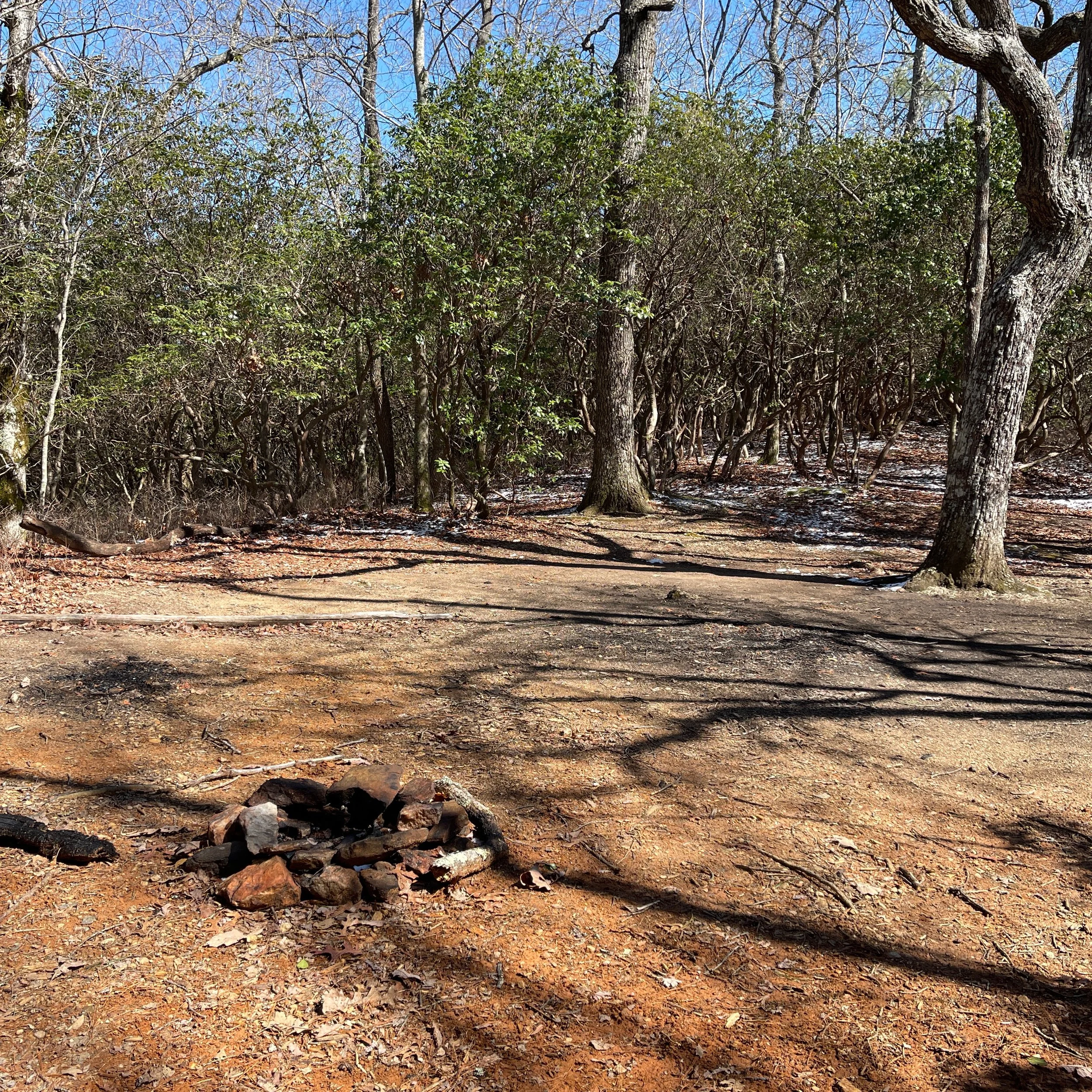
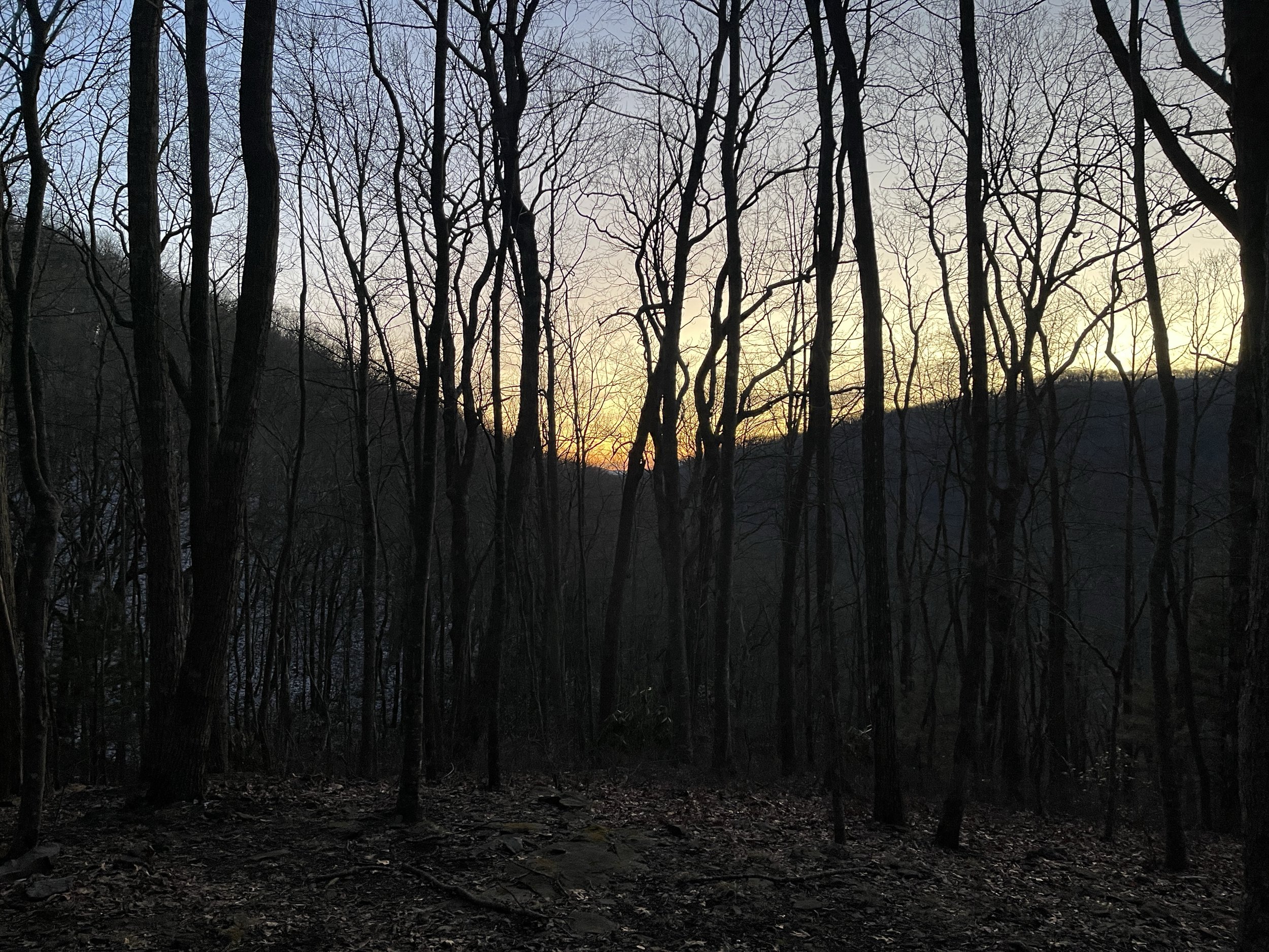
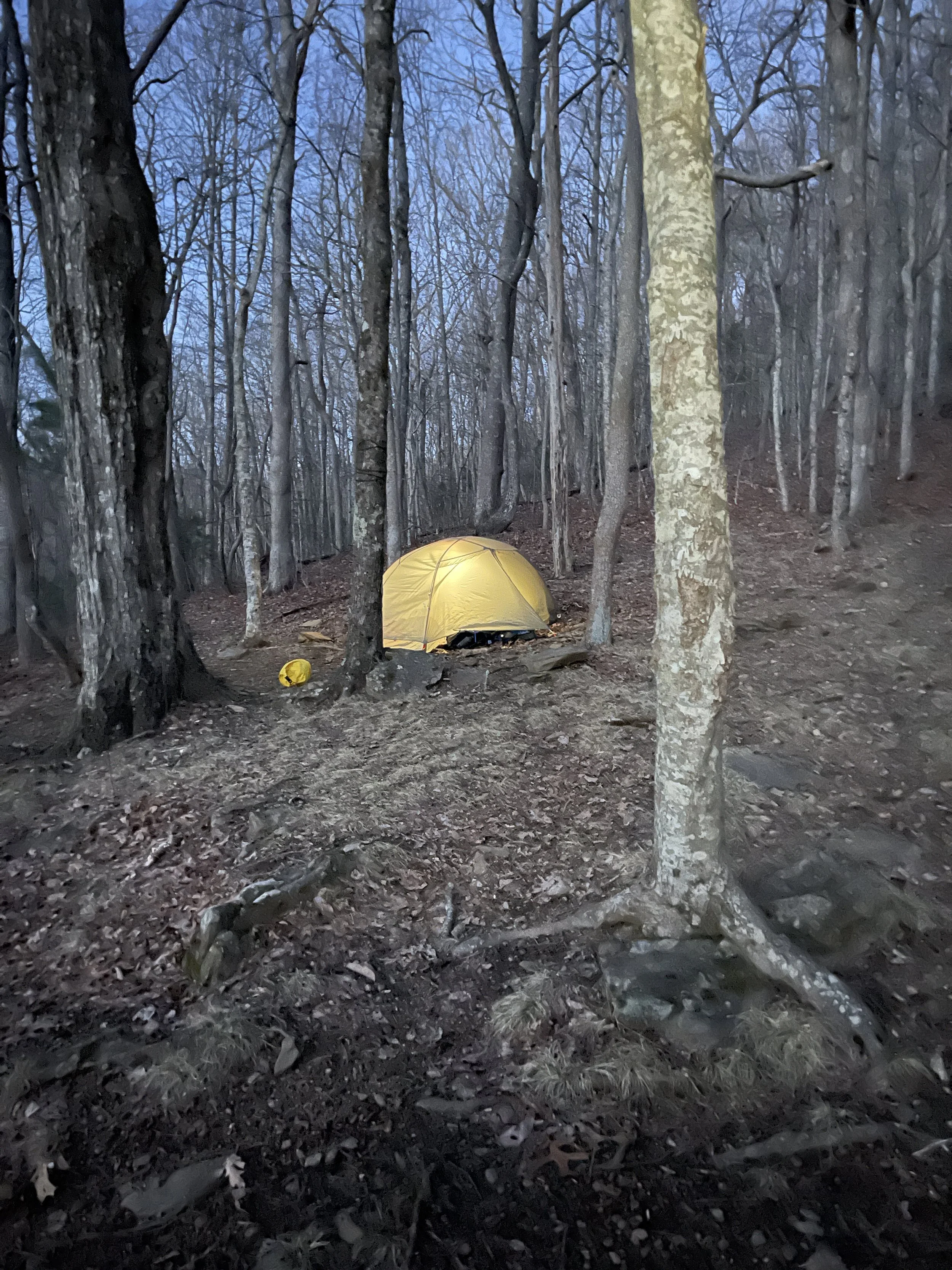
We climbed the Rocky Mountain while enjoying the golden sunset sky. Passing a stream that follows the trail for about half mile. Decided to camp on a site not far from the trail. It has a fire pit, and relatively dry ground mostly covered by leaves. The site is not very flat but we had no time to hike further without being certain that we can find something nicer than this before darkness. We thought it would not be a big deal but our sleeping pad ended up sliding downhill in the tent during the mid of the night. The temperature dropped quickly. It was a beautiful night with stars and moon twirled in the sky. However, after setting up our tent, cooking and eating our dinner, we wanted only one thing that was going into our sleeping bag and stay warm in there. This was our first night of camping without a shelter. Somehow the wind stopped shortly and it turned out to be a quiet, non-eventful evening to rest our exhausted body after a long day.


