Day 7 [NC/Georgia: Mile 86.2 - Mile 75.6] Deep Gap -> Blue Ridge Gap (SOBO)
Date: March 7, 2025 (Saturday)
Total Distance: 10.6 miles on AT + 4.5 miles service road to De
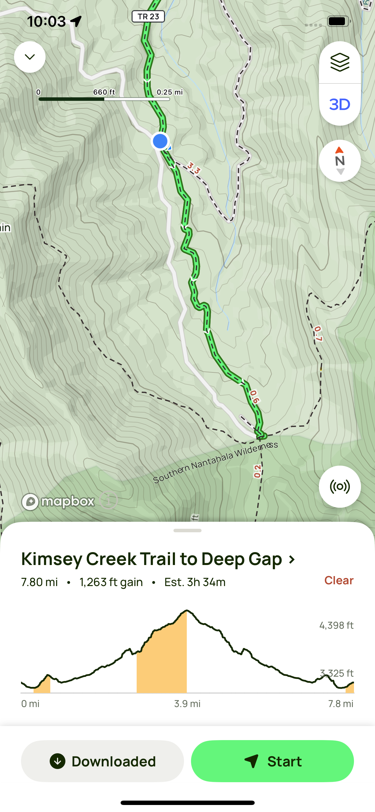
The night before, we were planning our last day’s section hike. We will hike further than we originally planned to, and now it is a good problem that we will cross the GA/NC boarder. Deep Gap in NC seems to be a reasonable destination tomorrow, and we need to arrange a shuttle to drop us off at the trailhead in the morning. However, we just realized that none of the road access in North Carolina is open until March 15th. Another option is to be dropped off at Blue Ridge Gap where we parked, and hike to Dicks Creek Gap then return to Blue Ridge Gap to pick up the car. There really is no perfect solution. We finally decided to be dropped off at the gate where dirt road to Deep Gap begins, and hike about 4.5 miles to Deep Gap on AT, then go south bound to Blue Ridge Gap to pick up our car. We will find another chance to complete the section between Dicks Creek Gap and Blue Ridge Gap ant another time.
Hike to Deep Gap
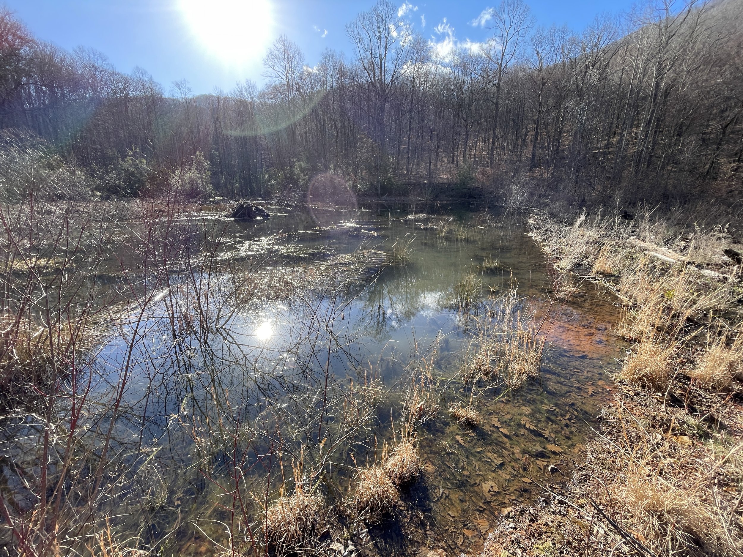
The 4.5 mile dirt road from the gate to Deep Gap was flat with creeks on the side. We also came cross a small reservoir. We switched to the blue-blazed Kimsey Creek Trail when it crosses, and hiked the last mile on it to reach Deep Gap. It is a pretty wet trail with several creeks to cross over the rocks in water. The Kimsey Creek Trail is supposed to connect with the U.S. Forest Service Standing Indian Campground in 3.7 miles. It has tent sites, restroom, warm showers, and a parking lot for AT section hikers. However, my maps shows much longer distance of hiking, so not sure.
Mile 86.2 Deep Gap
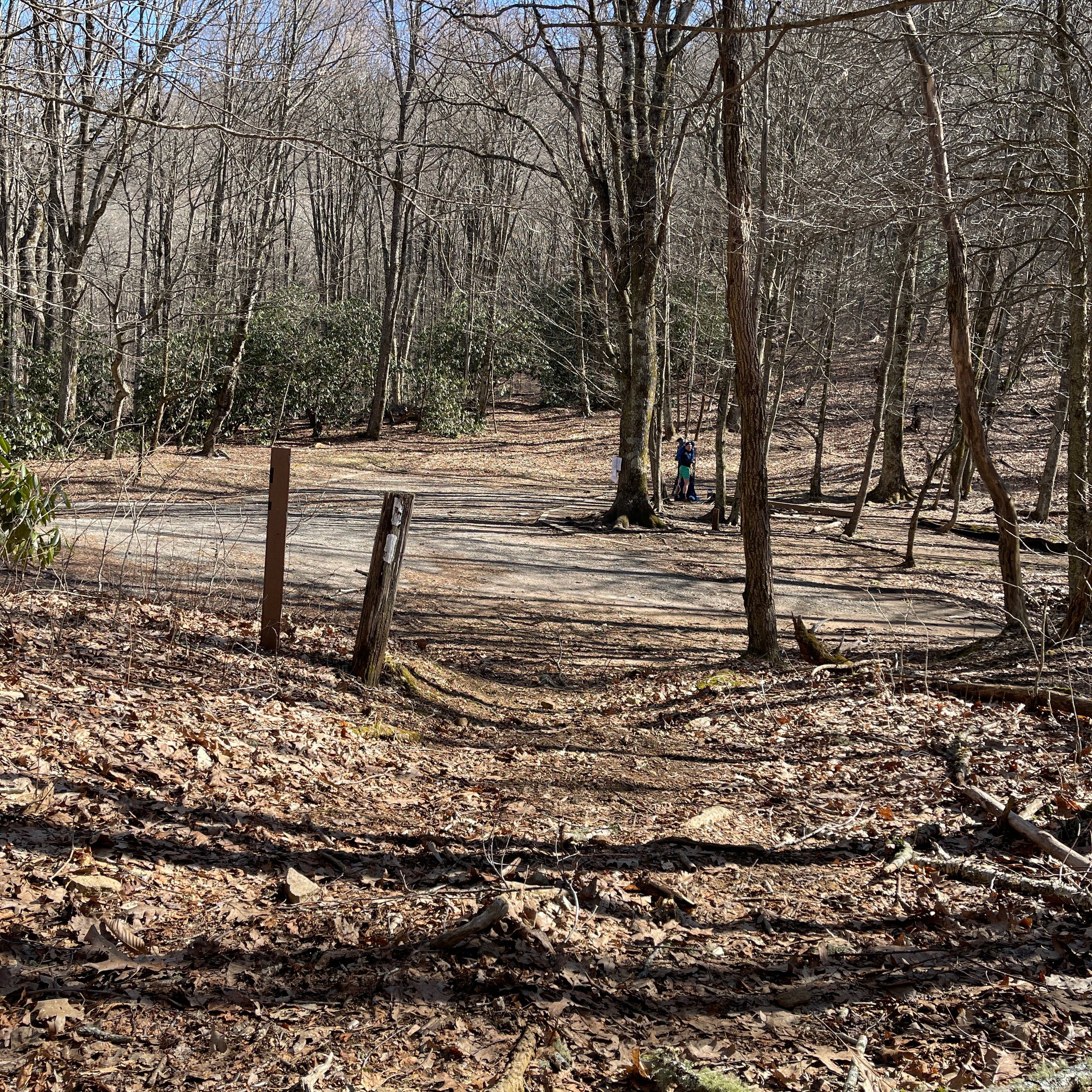
There is a campsite with quite a few tent spots where the Kimsey Creek Trail reaches AT at the Deep Gap. According to Far Out app, Deep Gap has a parking space of 8. Nobo hikers begin a 1,157-foot, 2.4-mile ascend of Standing Indian Mountain from here. We went south bound as planned to cross the Yellow Mountain.
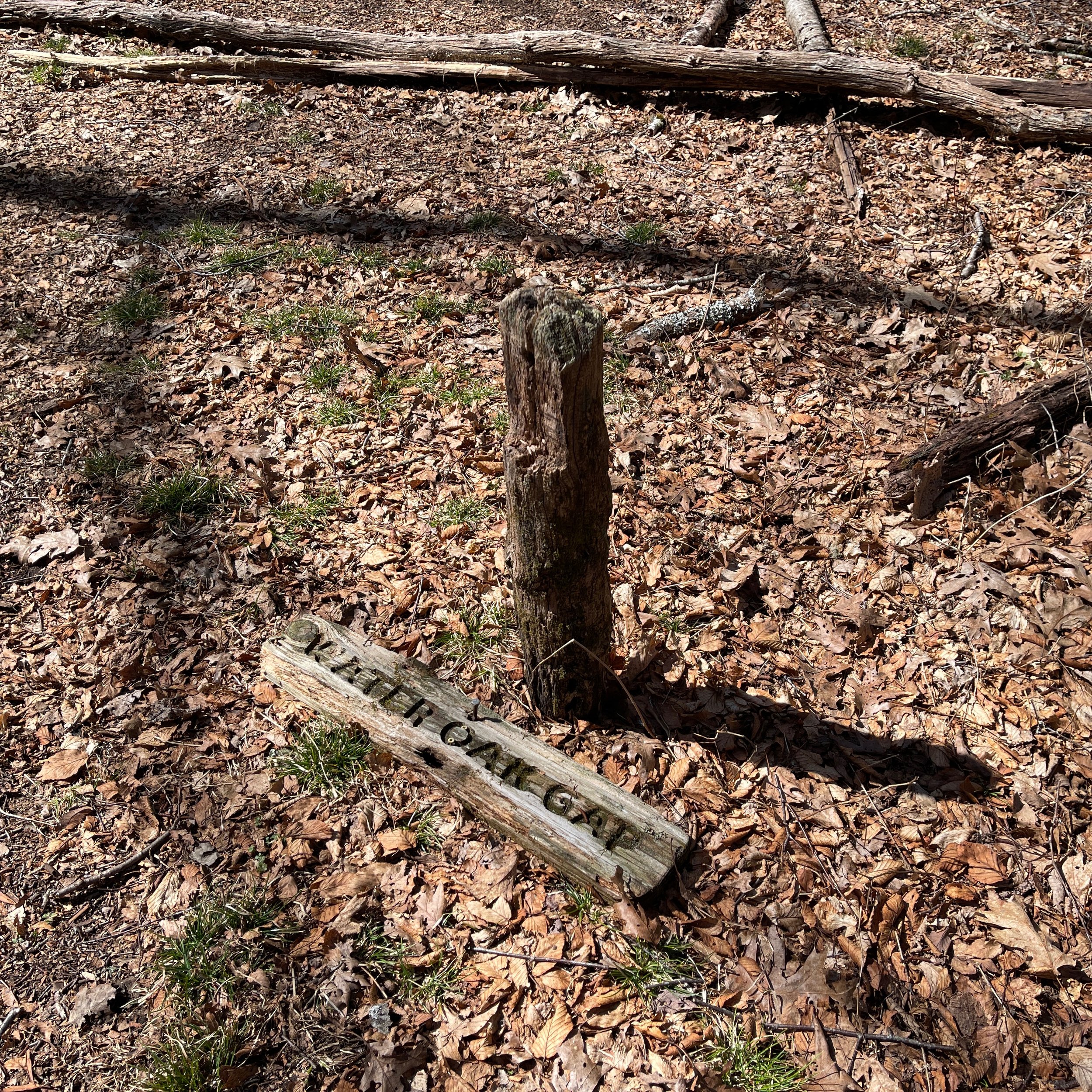
Mile 83.1 Wateroak Gap
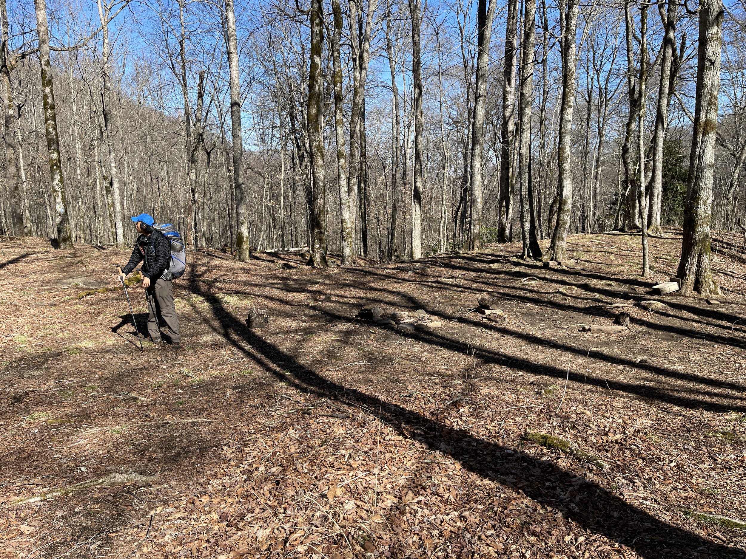
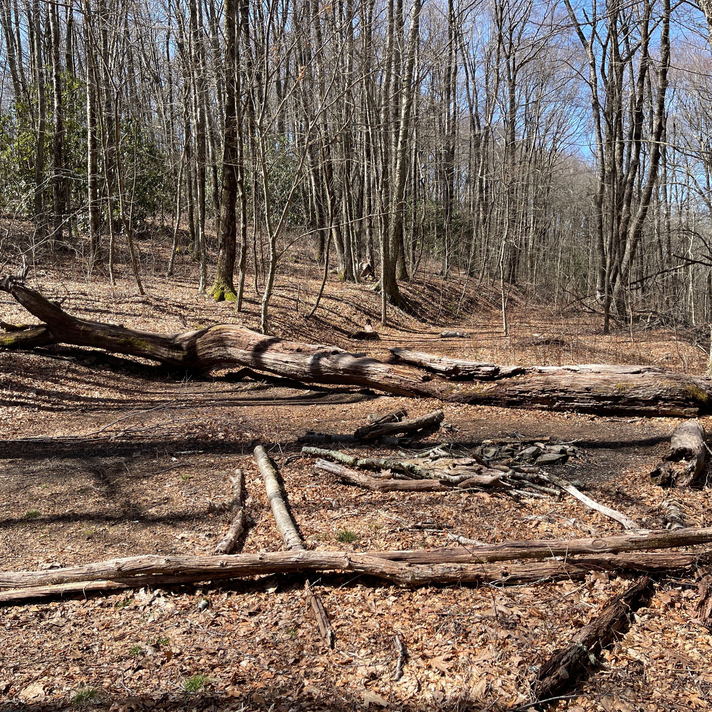
After climbing over the rocky, graded Yellow Mountain from the Deep Gap and descended, we came to the gap. It supposed to cross with another trail, but we did not see the sign. It has a relatively large flat area that could be a good site for camping. We cooked and ate our chili for lunch in the fire pit behind the large log right next to the trail, and got back to the road.
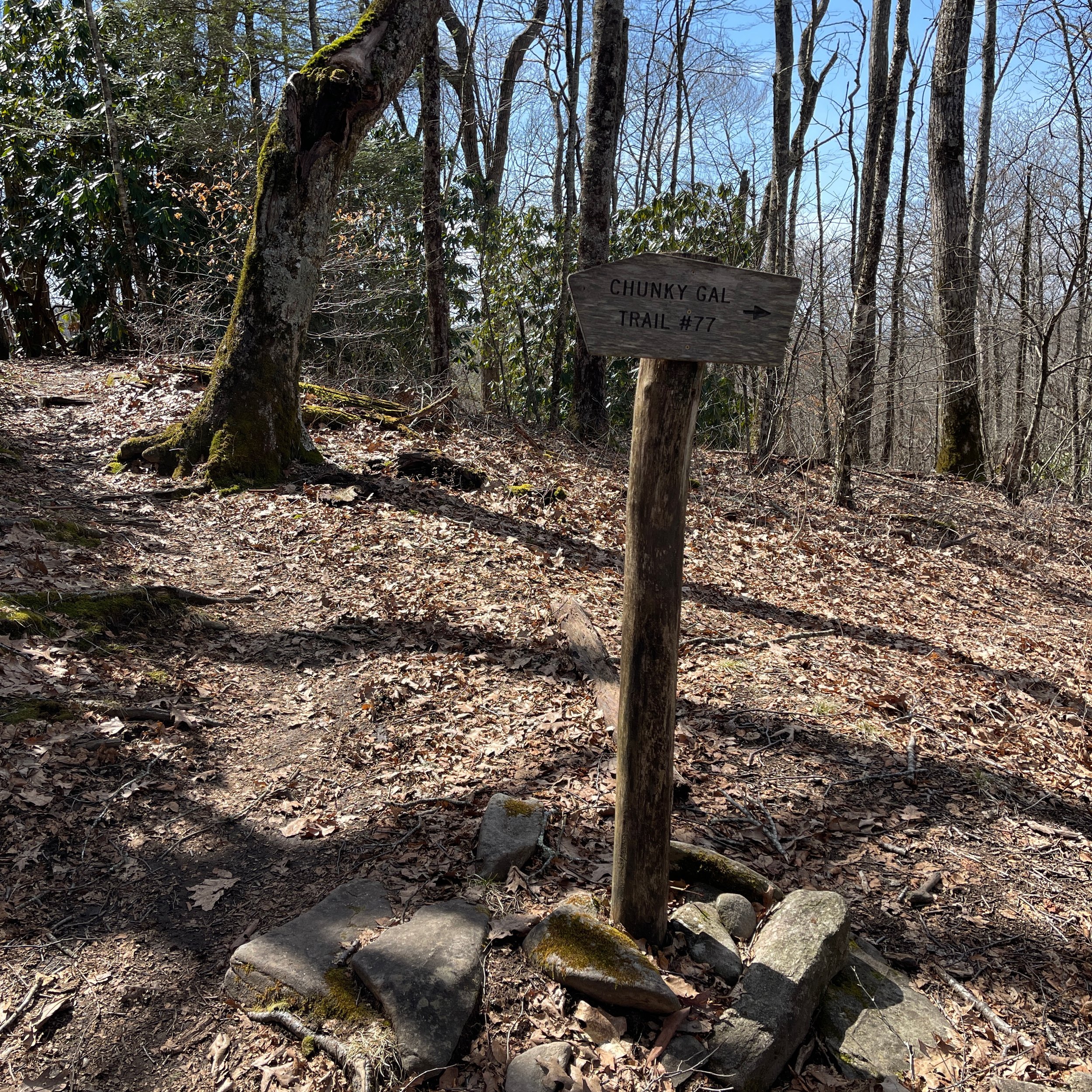
Mile 82.2 Chunky Gal Trail
The Chunky Gal Trail is a blue-blazed trail that leads 5.5 miles west to U.S. 64 following the Chunky Gal Mountain.
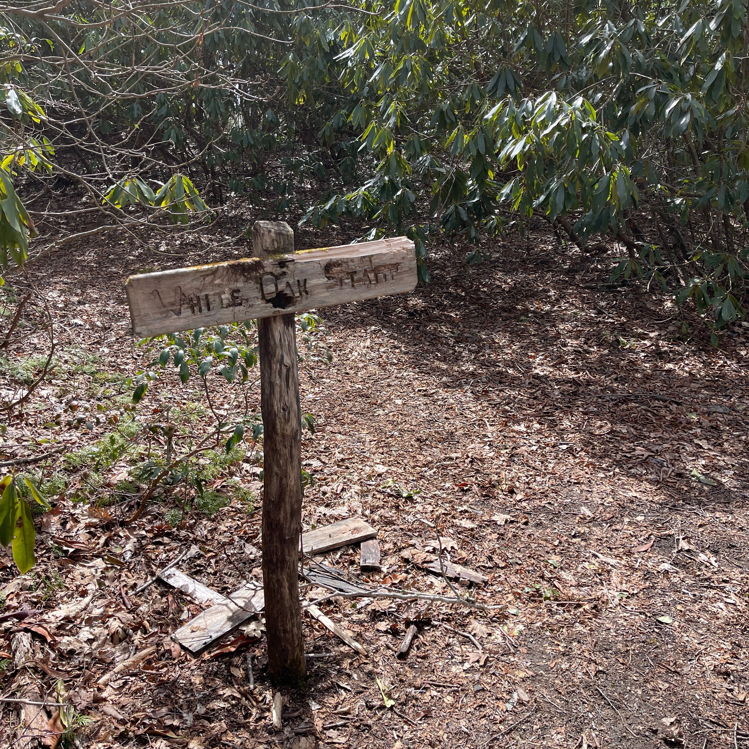
Mile 82.0 Whiteout Stamp
A small flat area serves a nice camping sites with bushes.
Mile 81.2 Muskrat Creek Shelter
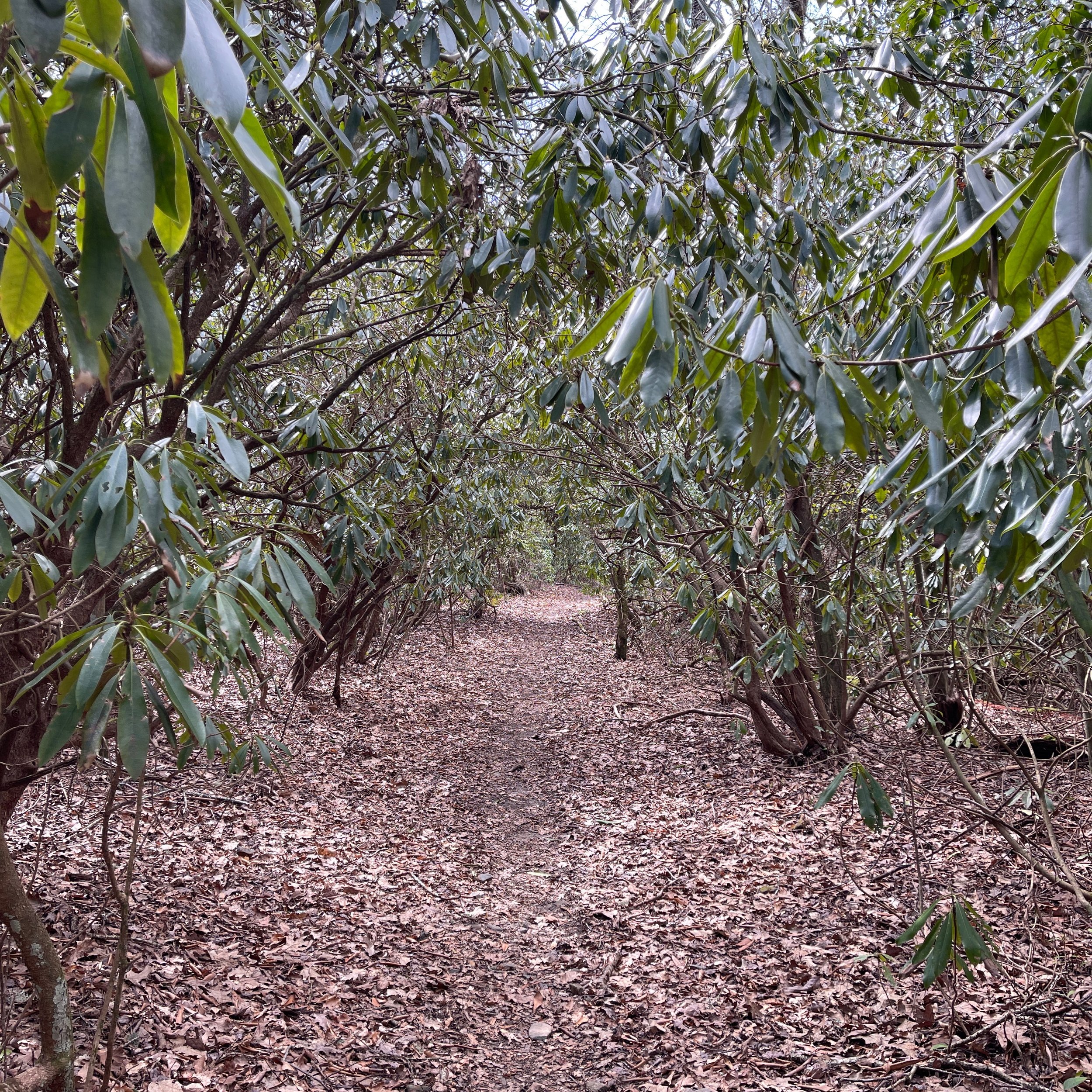
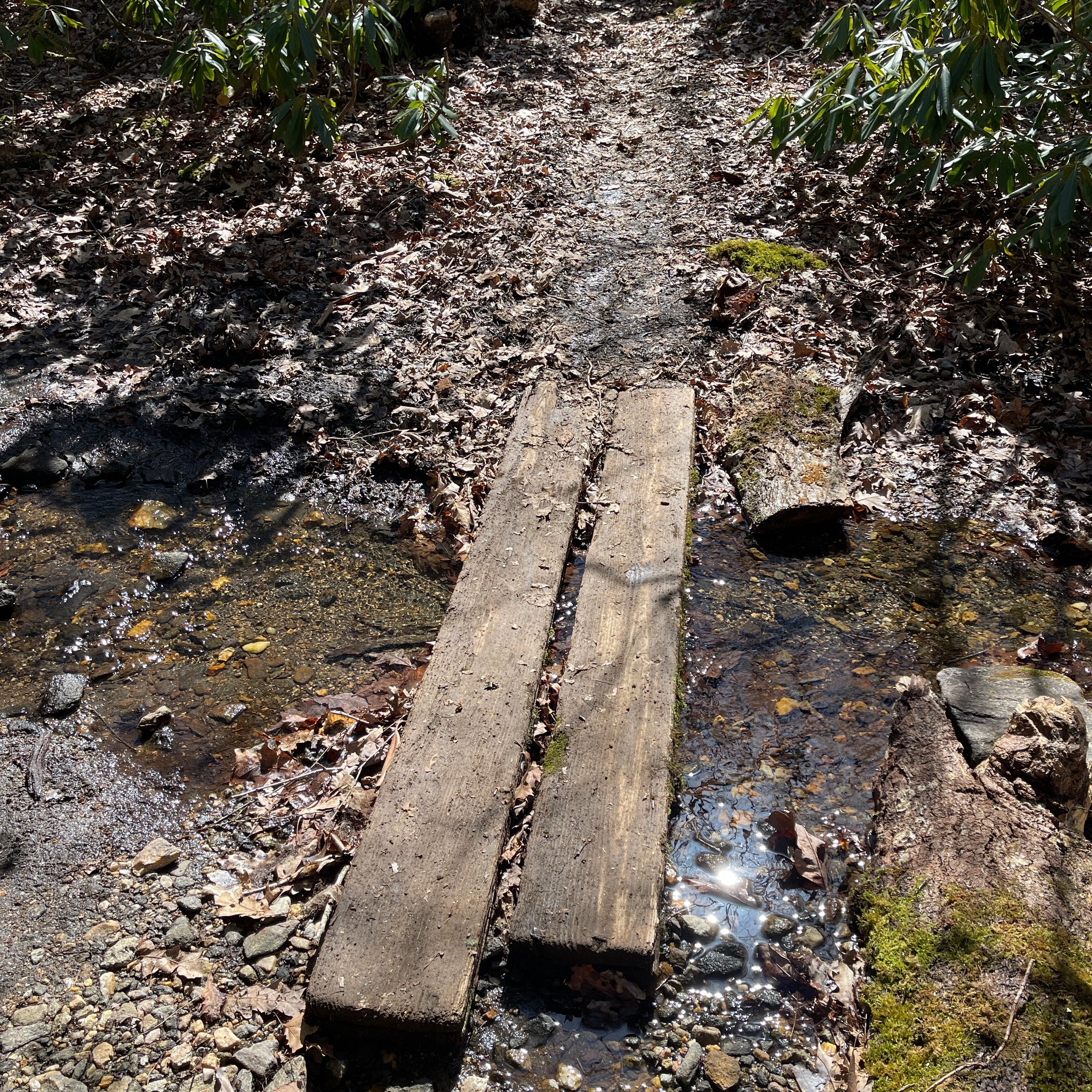
This section is relatively flat and pleasant. We crossed several patches of dense rhododendron bushes. The shelter is right next to the road and sleeps 8. A privy is not far. It uses the “Nantahala design”, comparing with the traditional "Adirondack" type shelter which retains the three-sided construction, but has a considerably extended front roof-line providing a sheltered cooking and eating area, including a picnic table. Water source is right behind the shelter, however the water level was very shallow. But the creek became deeper and easier to refill when it crosses the main trail, where the two-log bridge is located.
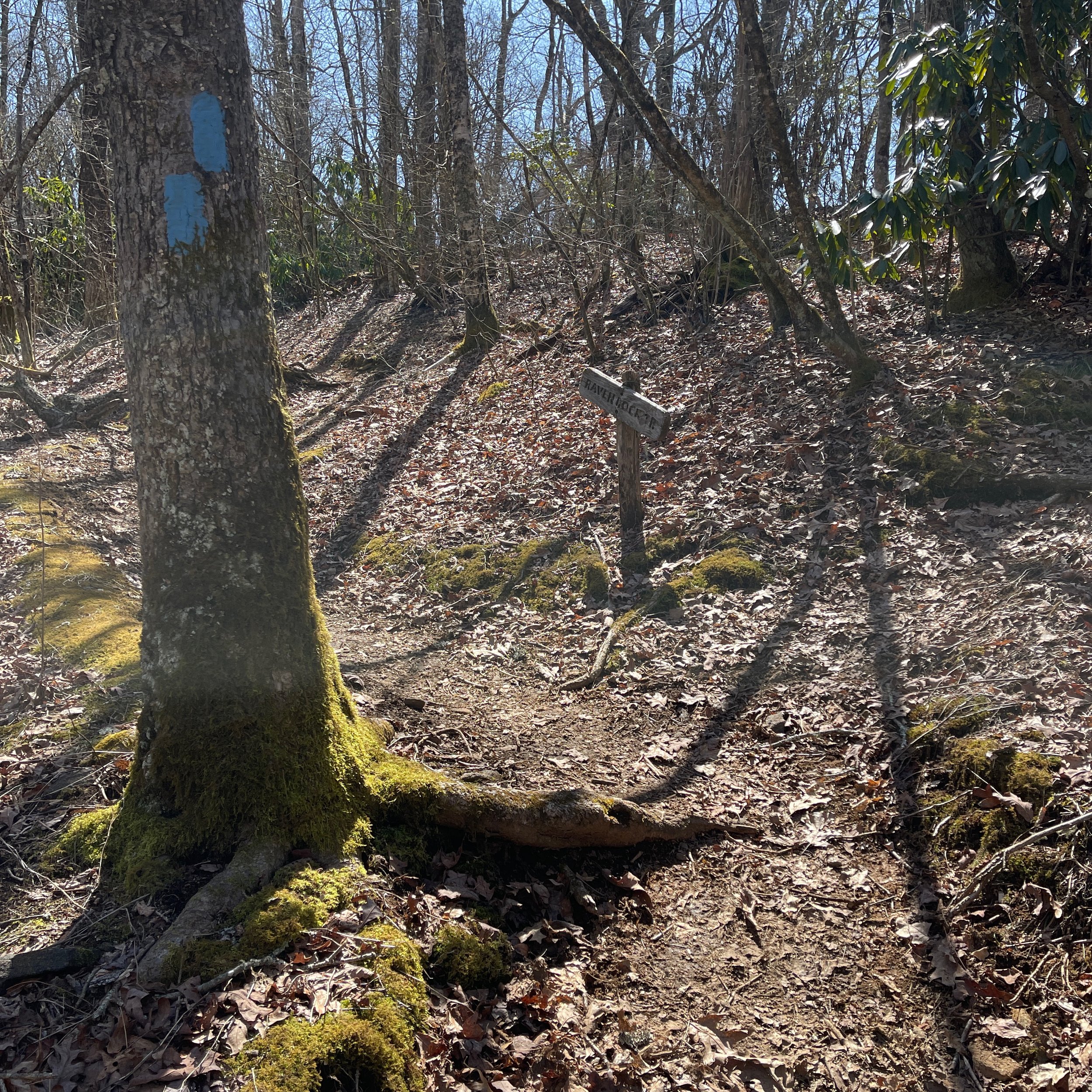
Right next to the shelter is the blue-blazed Ravenrock Ridge Trail. This section of AT features a wide variety of side trails in the Southern Nantahala Wildness.
Mile 81.1 View
A viewpoint at the right side of the trail not far from the shelter, to the Shooting Creek Valley on the west. The weather could not be better for a view like this, clear air with a blue sky decorated with cloud.
Mile 80.3 Saasafras Gap
Here we go again, this name was in the GA section, and will repeat several more times in NC/TN.
Mile 79.6 View
Same view at a different location - right after the Courthouse Bald (elevation 4,690 feet), then began a long descent.
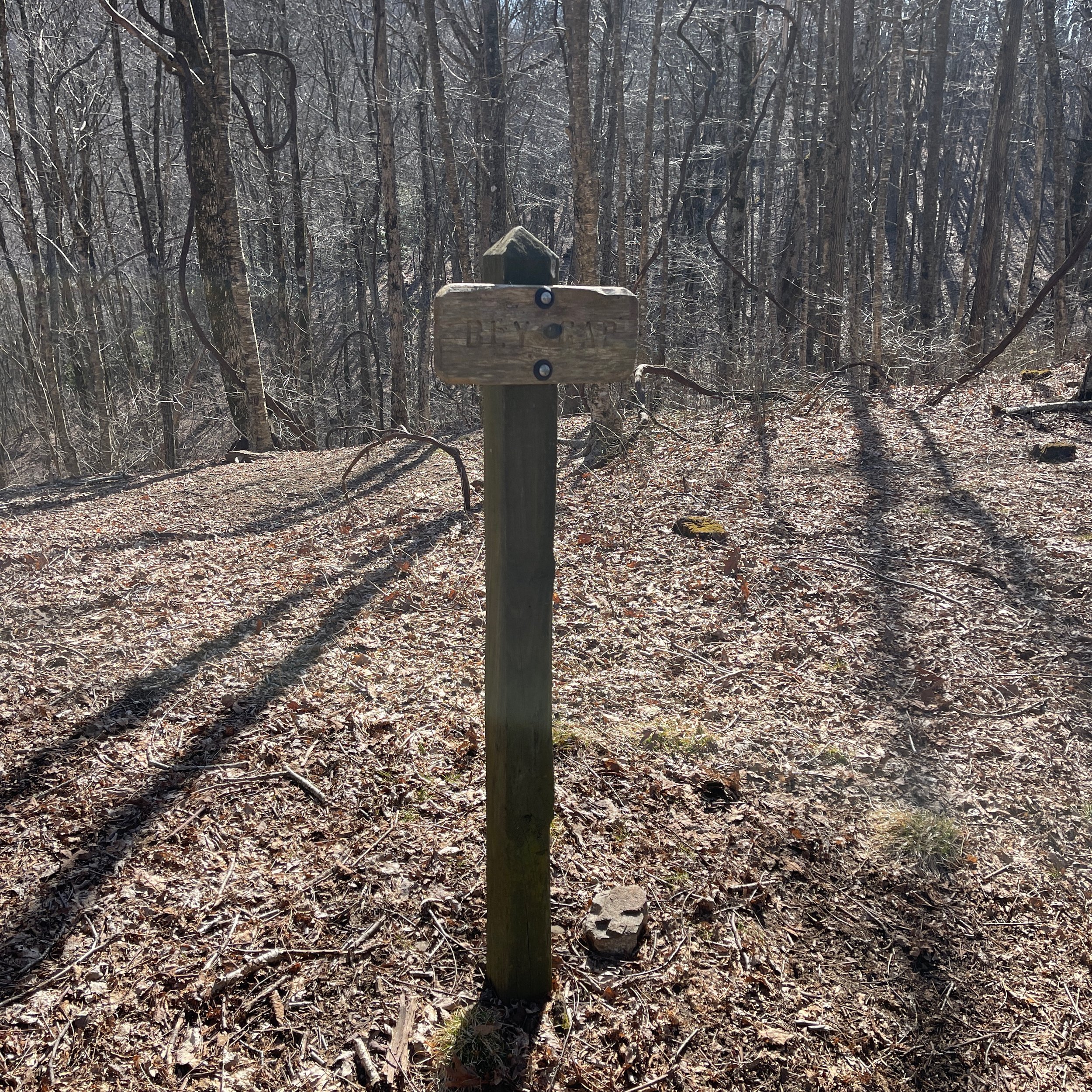
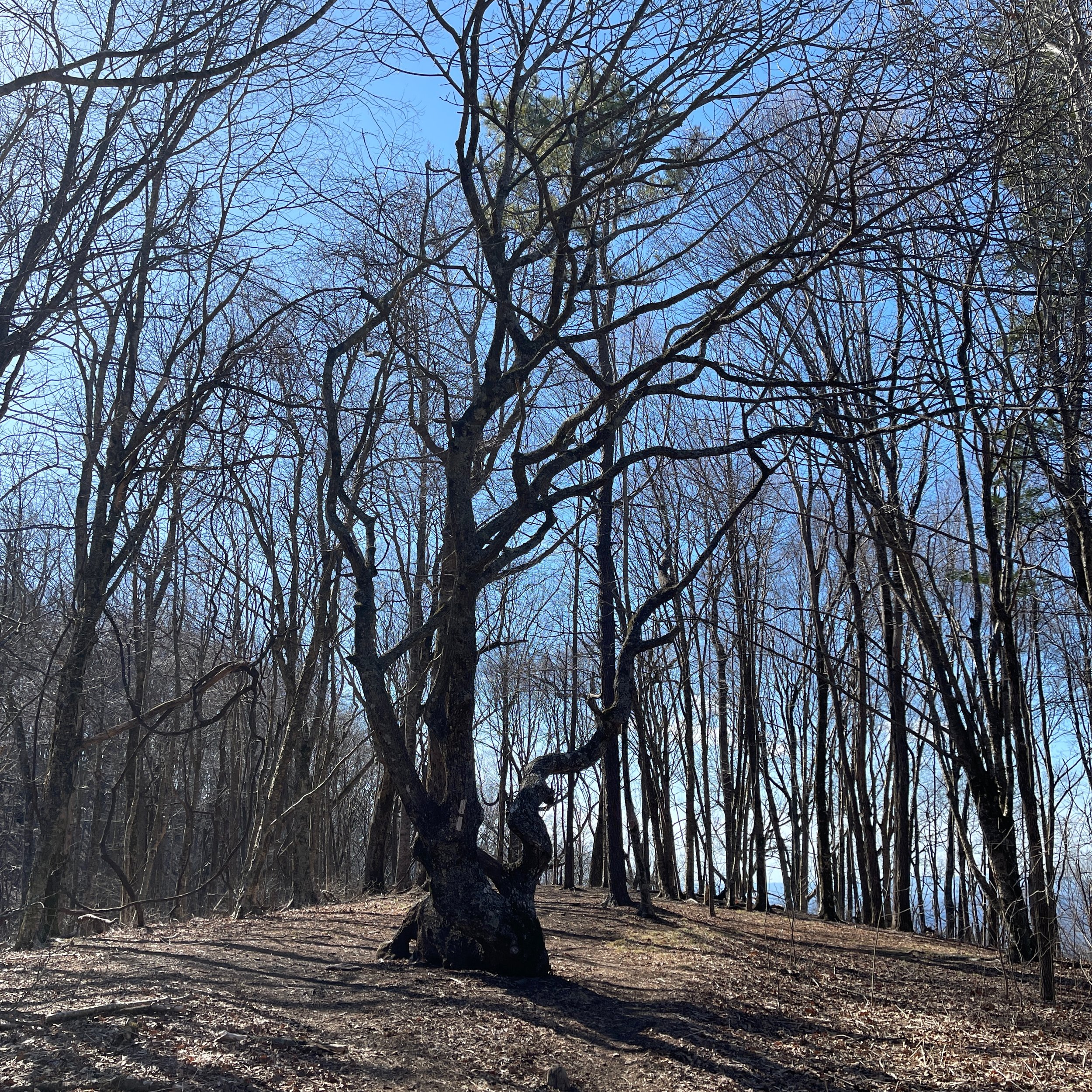
Mile 78.4 Bly Gap
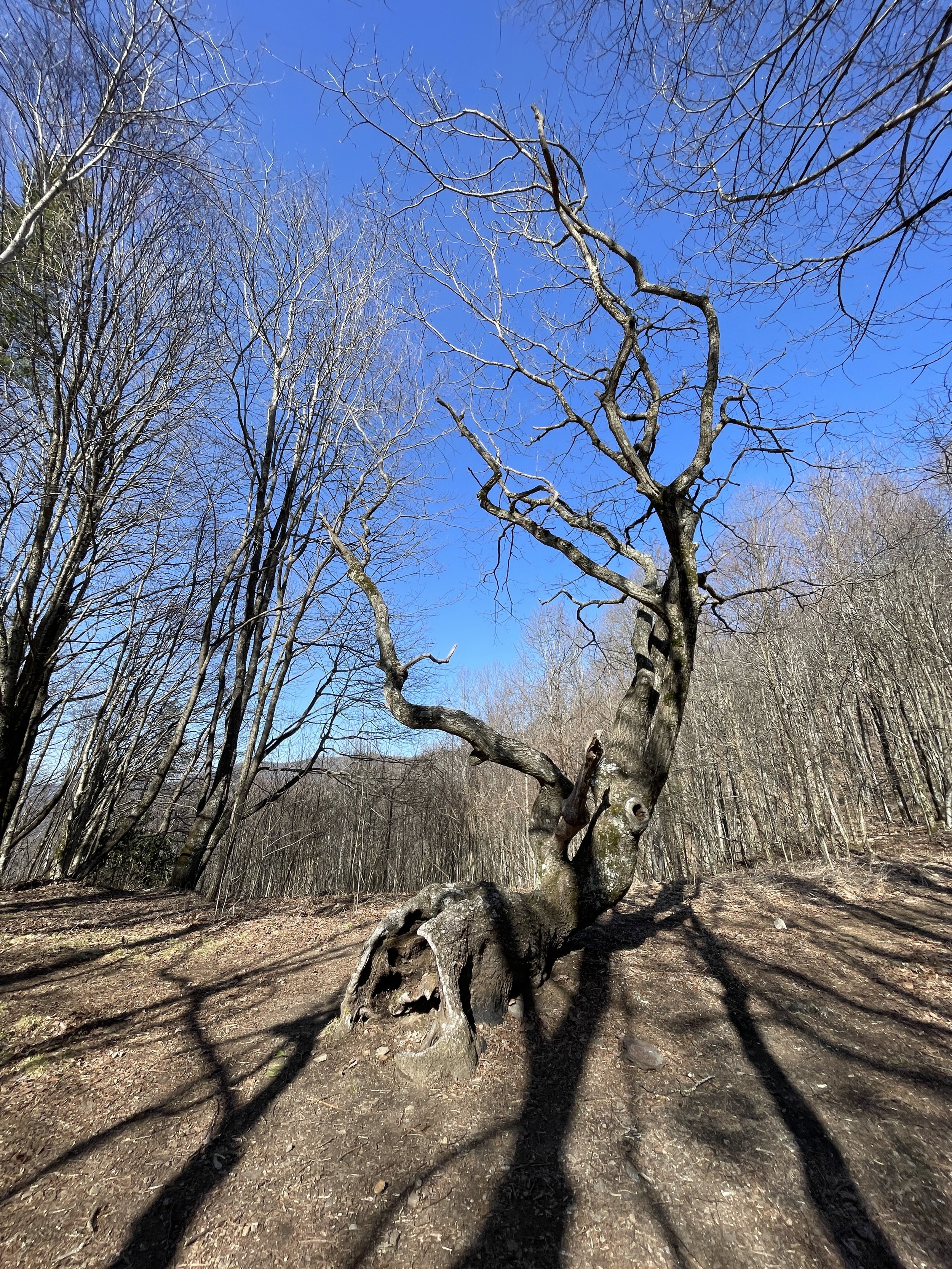
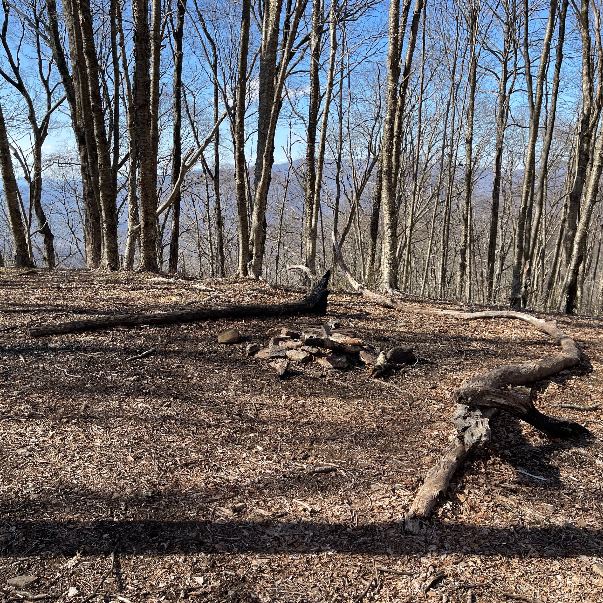
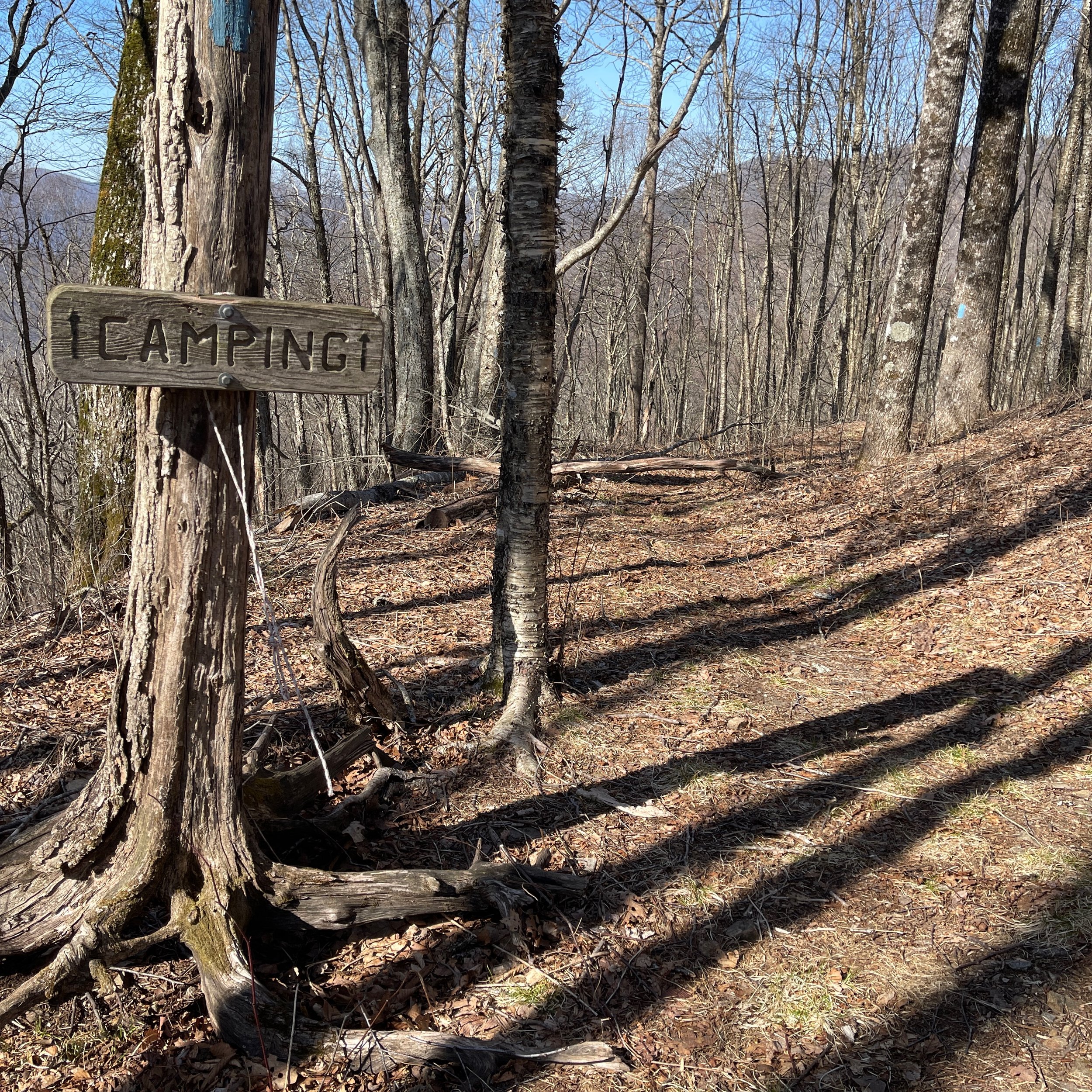
Crossing Sharp Top, a small peaking on the path of a 1,000- feet steep descending, we finally see the famous gnarled oak on a flat area. It has a campsite and water source. From here, we turned left SOBO to cross the GA/NC boarder.
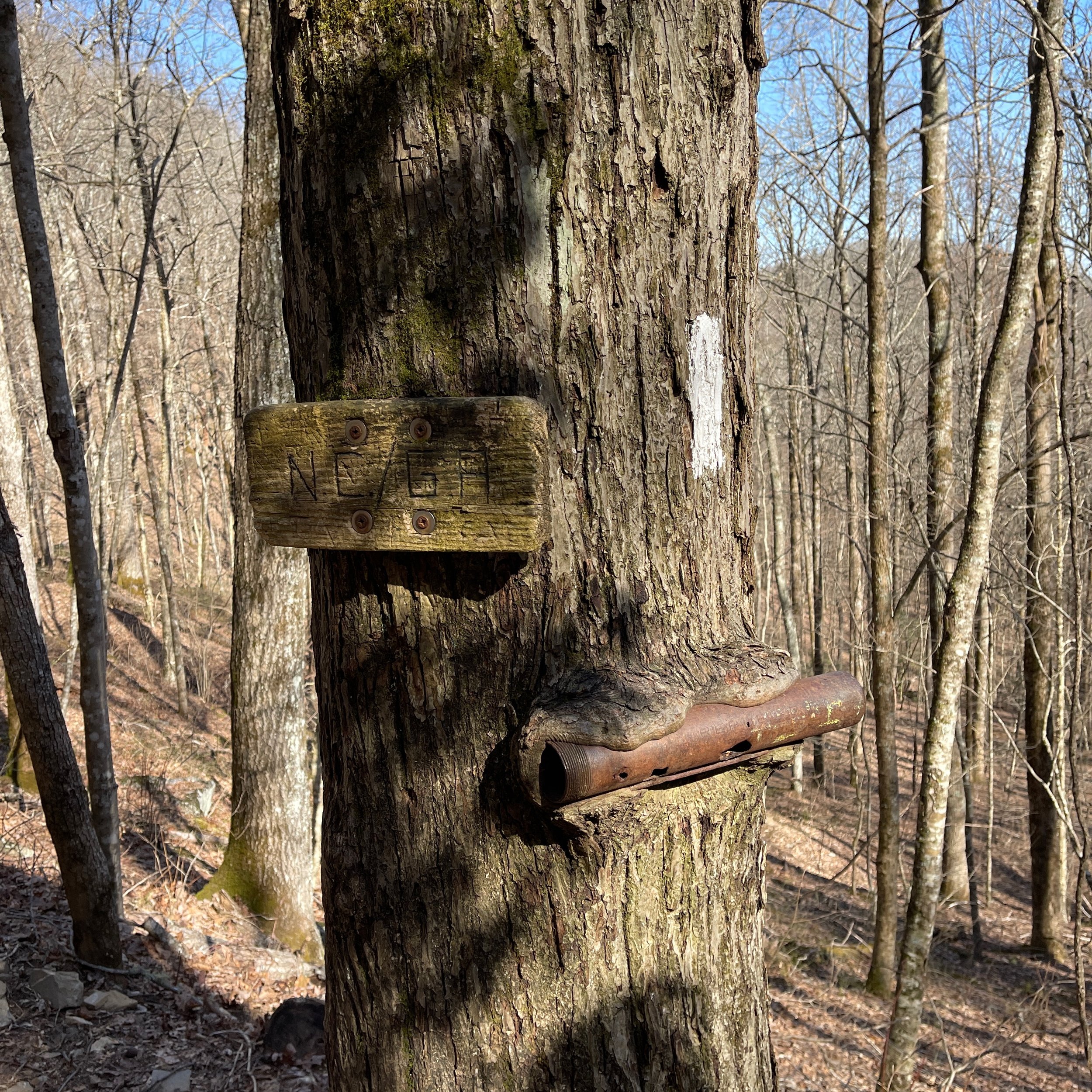
Mile 78.3 NC/GA State line
Finally we did it! We were wondering what that bronze tube was but later knew that it is the registry for hikers. We officially entered back into Chattahoochee National Forest in GA, from Nantahala National Forest in NC.
Mile 76.4 Rich Cove Gap
Supposed to be able to see the Hightower Bald, the 4th highest mountain in GA, but we were so anxious to reach our destination, we totally didn’t notice it.
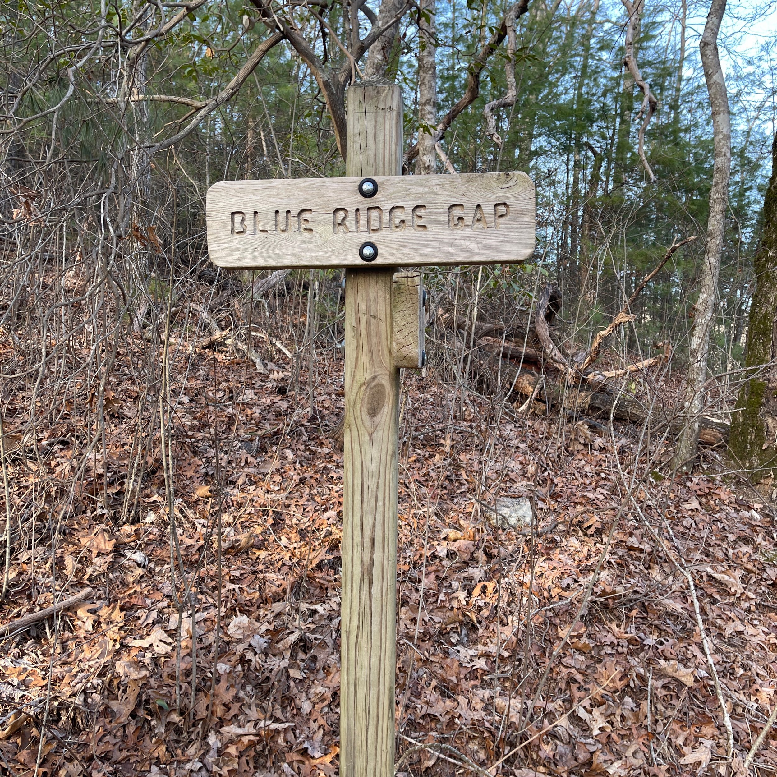
Mile 75.6 Blue Ridge Gap
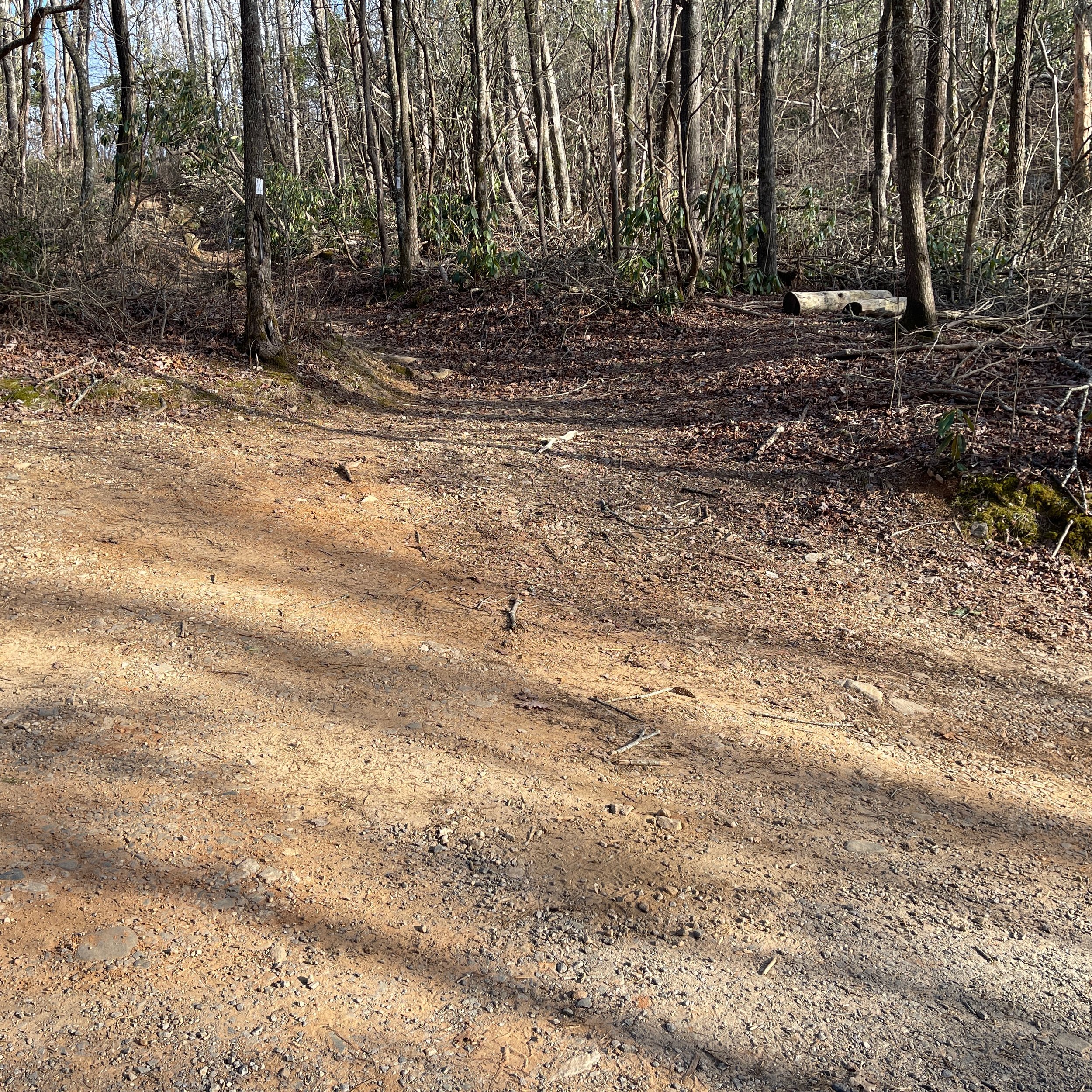
After descending a few stairs, we came at the cross of a dirt road at the Blue Ridge Gap, our section hike destination. There were a few cars parked there. We hiked a mile on the dirt road (but felt much longer probably because we were so tired) downhill to our car, which was parked at the start of the dirt road. This was a tremendous experience and we felt great about what we have accomplished.


