Albuquerque, New Mexico
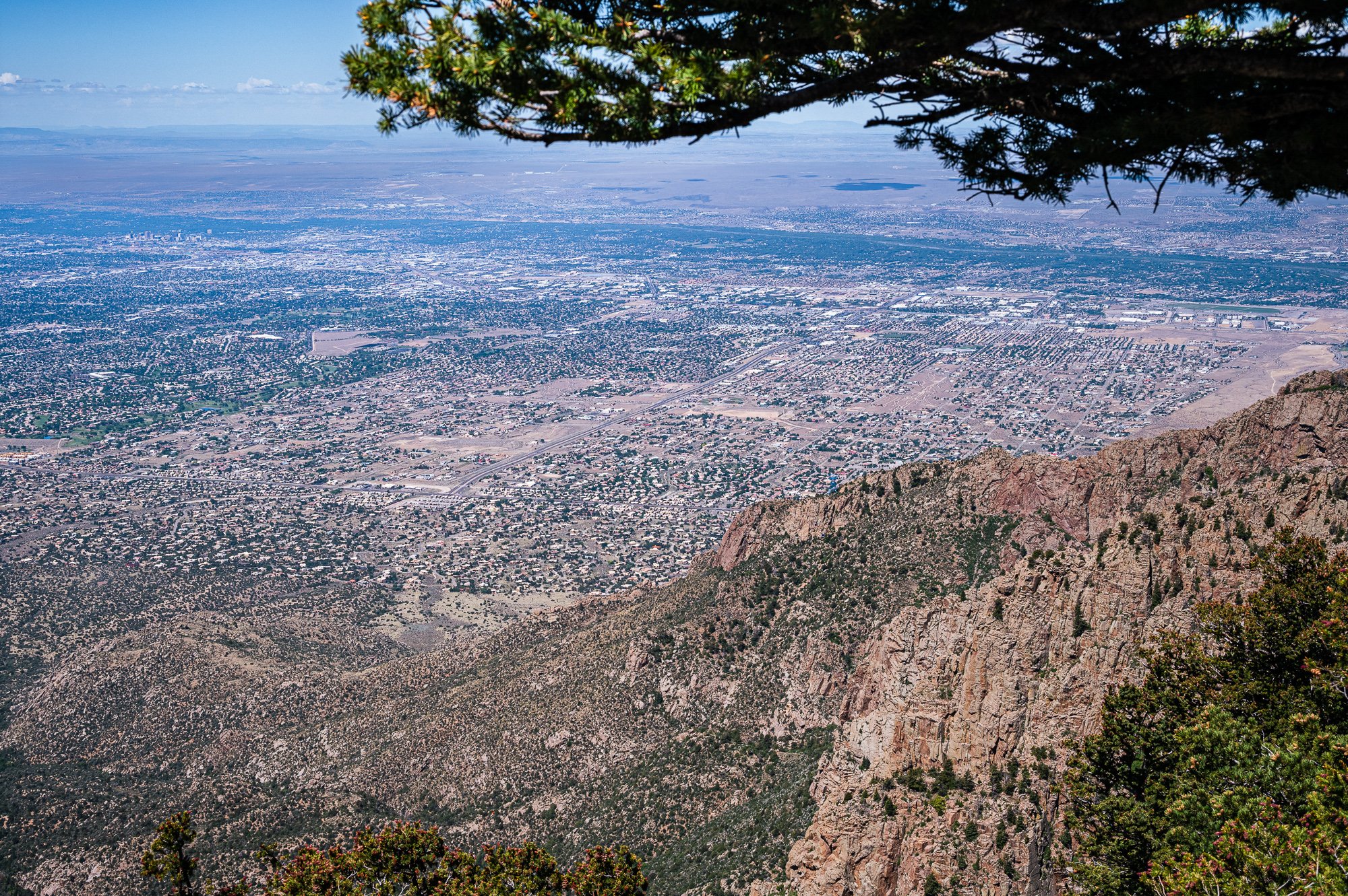
Located in the Albuquerque Basin, the city is flanked by the Sandia Mountains to the east and the West Mesa to the west, with the Rio Grande and Bosque flowing north-to-south through the middle of the city.
-Wikipedia
Population: 564,559 (2020 census), the 32nd most populous city in the U.S. and the 4th largest in the Southwest.
Attractions
Indian Pueblo Culture Center
Albuquerque International Ballon Fiesta
Our Visit
Date: June 2 - 3, 2023
The best time to visit Albuquerque, if you have that flexibility, would be October for the The Albuquerque International Ballon Fiesta, which take place at Ballon Fiesta Park the first week of October. It was a scene to see hundreds of hot-air balloons floating in the air with the beautiful foliage in the background.
I. Petroglyph National Monument
Please find more detailed info of this site here.
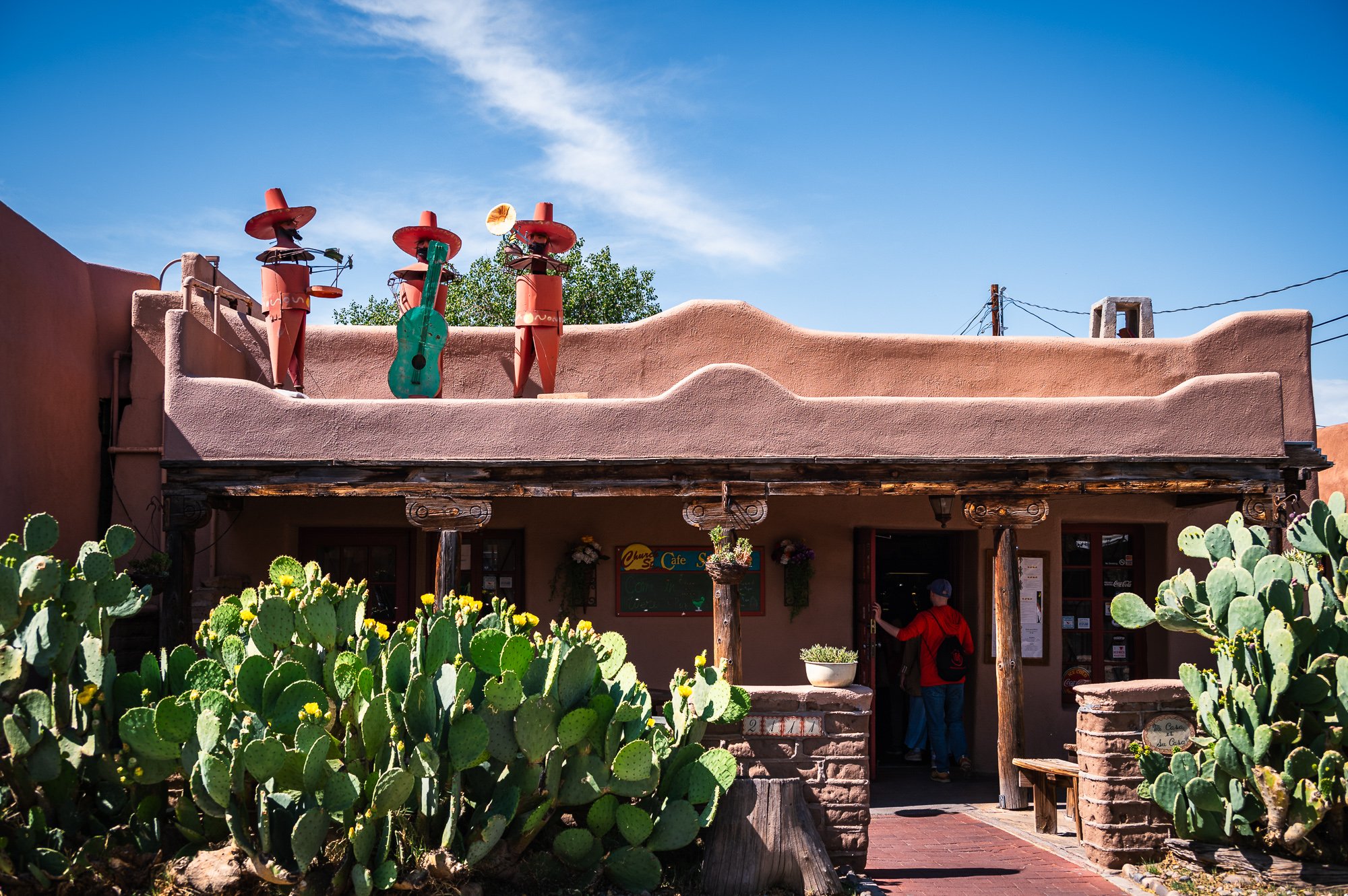
II. Old Town Albuquerque
Old town is the historic original town site.
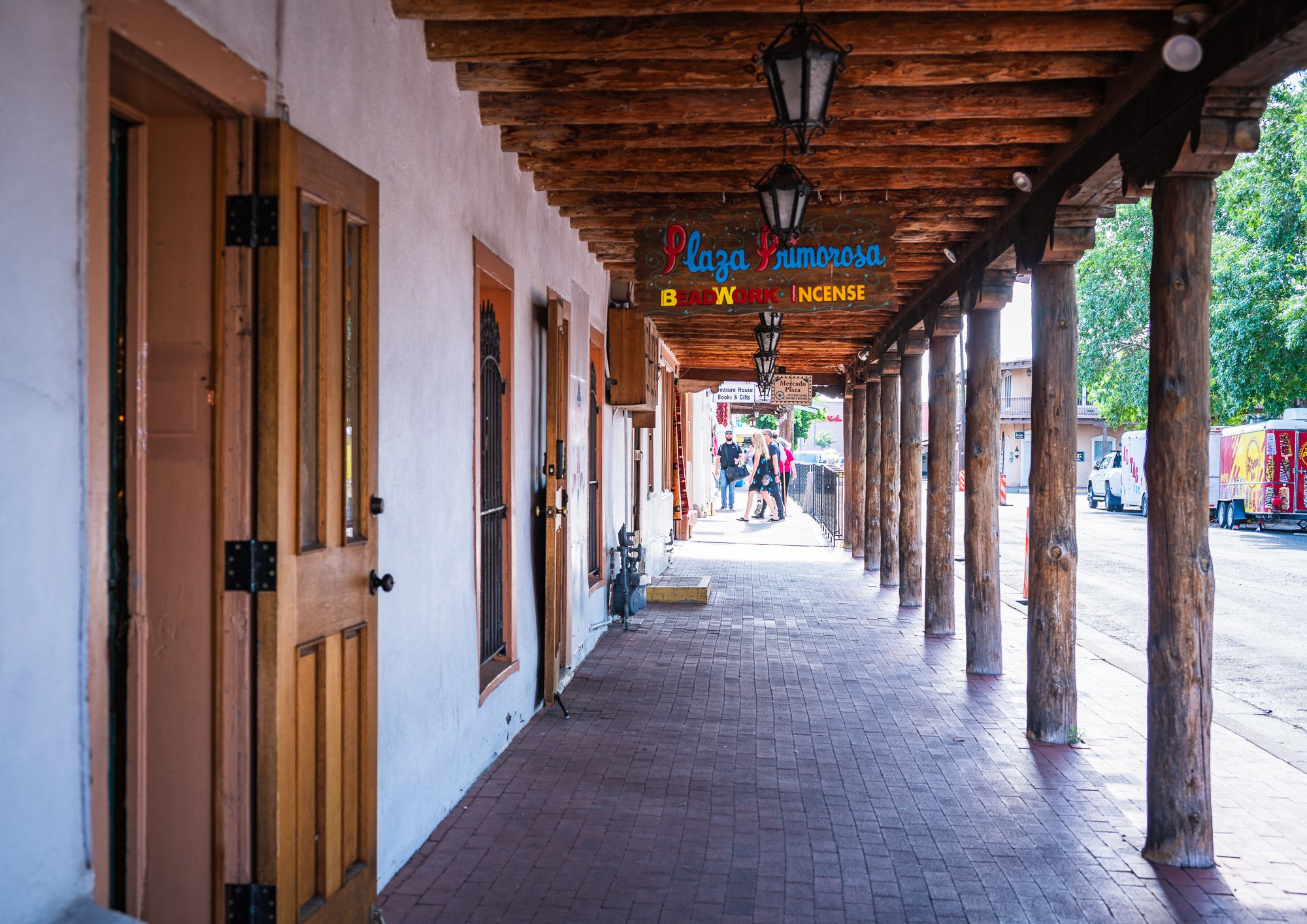
It is an area of about 0.8 square miles, with large number of restaurants, shops, and galleries, and is also home to the Albuquerque Museum of Art and History, the New Mexico Museum of Natural History and Science, the Indian Pueblo Cultural Center, and the Explore Science & Learning Museum.
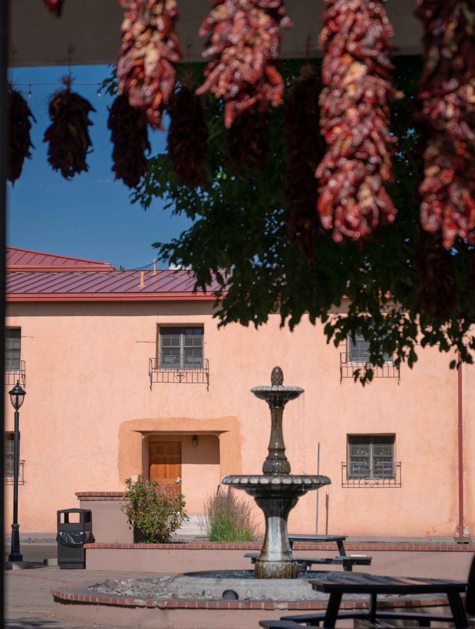
At the center is Old Town Plaza, surrounded by approximately ten blocks of one- and two-story buildings. On the plaza’s north side stands San Felipe de Neri Church, a Spanish colonial church constructed in 1793. There are many historic buildings dated back 1870 and 1900, or older. On the east side of the plaza, there is the Old Town Portal Market, serving as an outlet for local artists to sell their handmade jewelry.
Oficial site: https://www.albuquerqueoldtown.com
III. Rio Grande Nature Center State Park
Located on the central Rio Grande flyway, Rio Grande Nature Center State Park is a 38-acre urban wildlife preserve established in 1982, and offers excellent bird watching throughout the year. About 2/3 of the park are set aside as habitat for wildlife. The remaining acreage contains a visitor’s center, two gardens, several wildlife viewing areas, an education building and a building housing the non-profit Wildlife Rescue, Inc. Visitors can observe about 250 species of birds including roadrunners and wood ducks.
The bosque, or riverside forest, features two miles of nature trails which wind through tall cottonwoods and past willow thickets and open sand flats alongside the Rio Grande. Park visitors in winter might observe Sandhill cranes at the river and porcupines in the trees. In summer lizards skitter across the trails and hummingbirds investigate flowering plants.
Rio Grande is one of the principal rivers (along with the Colorado River) in the southwest United States and in northern Mexico. The length of the Rio Grande is 1,896 miles, making it the 4th longest river in the U.S. and in North America by main Stem. It originates in south-central Colorado, and flows to the Gulf of Mexico. The Rio Grande with its fertile valley, along with its tributaries, is a vital watercourse for seven U.S. and Mexican states, and flows primarily through arid and semi-arid lands.
In New Mexico, the river flows through the Rio Grande rift from one sediment-filled basin to another, cutting canyons between the basins and supporting a fragile bosque ecosystem on its flood plain. From Albuquerque southward, the river flows through desert. Although irrigated agriculture exists throughout most of its stretch, it is particularly extensive in the subtropical Lower Rio Grande Valley.
IV. Tingley Beach
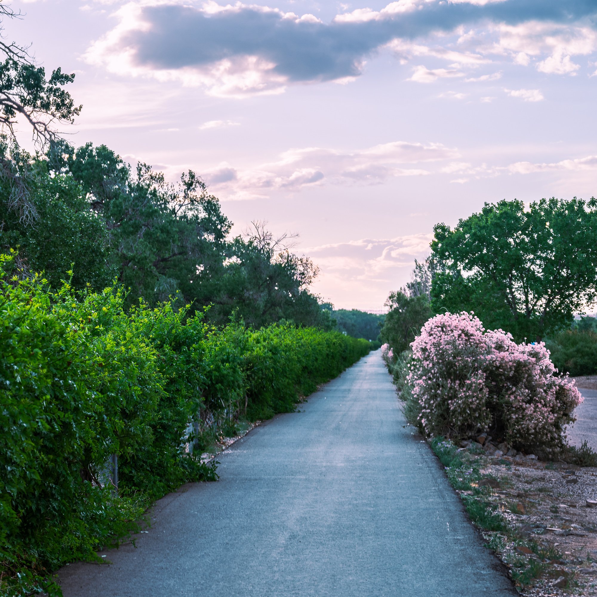
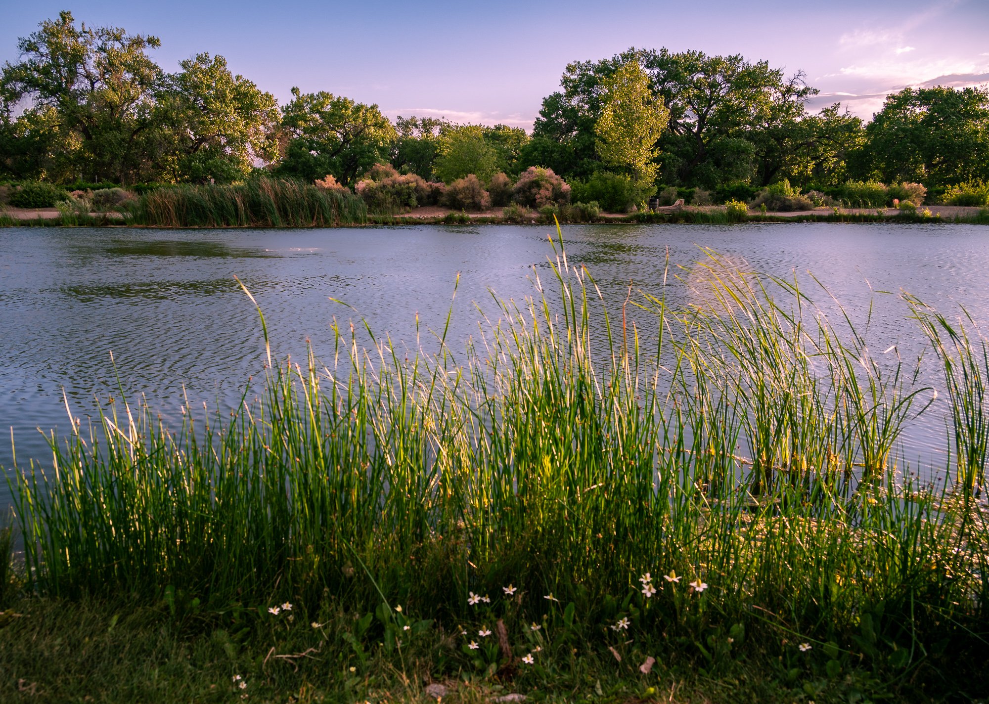
We had dinner at Garcia’s Kitchen (1736 Central Ave SW), which is just a few minutes away from the Old Town, highly recommend. The food is delicious, not that pricy, and people there are nice. There is a huge paint on the entire outside wall of the restaurant facing parking lot, so you don’t worry about missing it. After dinner, we need a place nearby to have an easy walk before heading back to hotel, and we found it - the Tingley Beach, or at least that’s how you can locate the area. It is actually a narrow strip of man-made parks around the Rio Grande River. The city park has a large Central Pond in the middle, then 3 smaller ponds on the north and south.
Between this park and the Rio Grande River, there are hiking trails run along the river bank. One in this section is called Rio Grande Bosque and Tingley Beach Trail (1.6 mi, loop) https://www.alltrails.com/explore/trail/us/new-mexico/rio-grande-bosque-and-tingley-beach-loop. But you don’t really need to follow the trail map and there are hundreds of miles of trails along the river in the city. Some sections of the nature trails could be flooded and unaccessible though.
V. Sandia Peak Tramway
https://sandiapeak.com
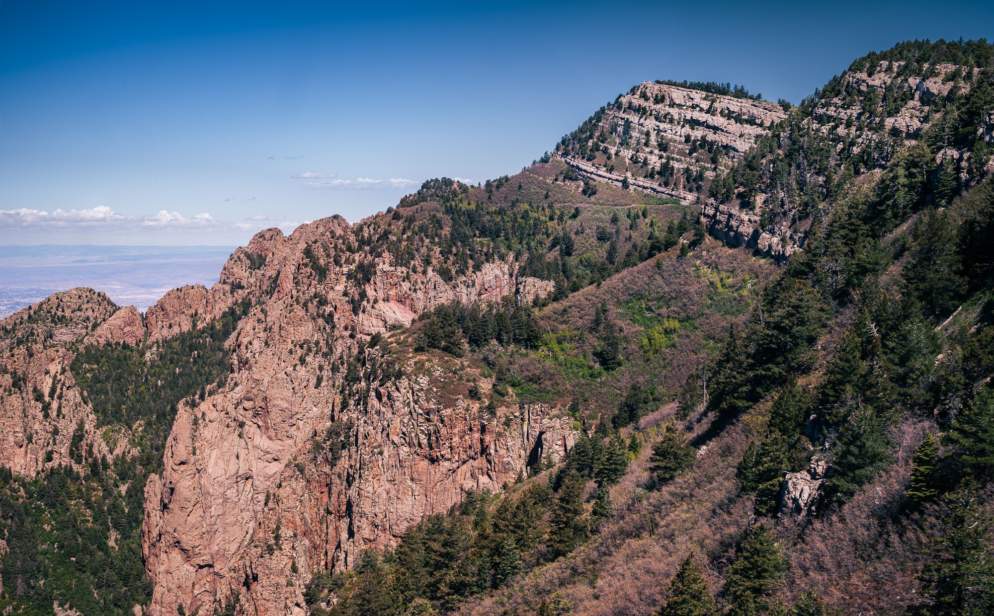
In the morning of June 3rd, also our last day of the road trip, we visited Sandia Peak Tramway, which is a must-see in Albuquerque. It is an aerial tramway stretching from the northeast edge of the city to the Sandia Peak on the ridge line of the Sandia Mountains. It has the world’s 3rd longest single span, and is the longest aerial tram in the Americas. It provides a stunning view of the whole Albuquerque city, West Mesa, and desert around the city.
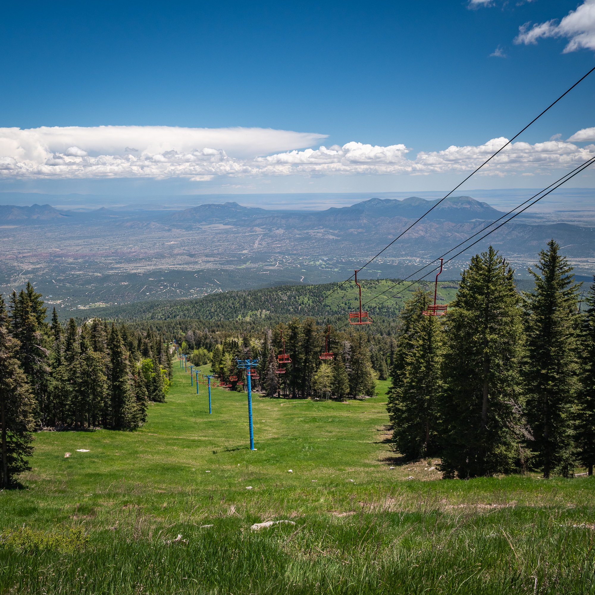
The tram terminal on the peak is located at the top of the Sandia Peak Ski Area, which is on the opposite side of the mountain. There are 26 miles of mountain biking trails available. This is the link to the map in pdf provided by the Tram official website
We hiked Kiwanis Cabin via South Crest Trail (2.2 mi, easy). The Kiwanis Cabin was build with local limestone by the Civilian Conservation Corps (CCC) around 1930, and was planned by a local Kiwanis group. it used to serve as an inclement weather shelter for the trail crews who built Sandia’s 28 hiking trails that are now enjoyed by all of us.
We then hiked a little to the north but didn’t go too far as it was time to head to the airport for our return flight. You may not have good cell signal depending on the carrier, so plan ahead as much as you can.


